
Danakil Depression: geology and itinerary choices
The Danakil Depression lies within the Afar rift landscape, where tectonic processes have produced salt flats, volcanic features and striking mineral environments. A meaningful visit begins by distinguishing the places that different itineraries actually include.
Afar life, salt country and expedition nights
The landscape is also inhabited and worked. Afar communities and the history of salt extraction and transport are part of its human geography; people should not be treated as scenery added to geological photographs. Permission and the meaning of any planned encounter should be clear.
Lake Asale and Lake Afrera are distinct salt-lake subjects. A route should name which is included, where the group sleeps and how each day connects with the next. Current conditions at Dallol, Erta Ale and any camp require separate assessment; older statements about security, volcano access, convoy arrangements or departures are not repeated here as promises.
Distinguish the named geological subjects
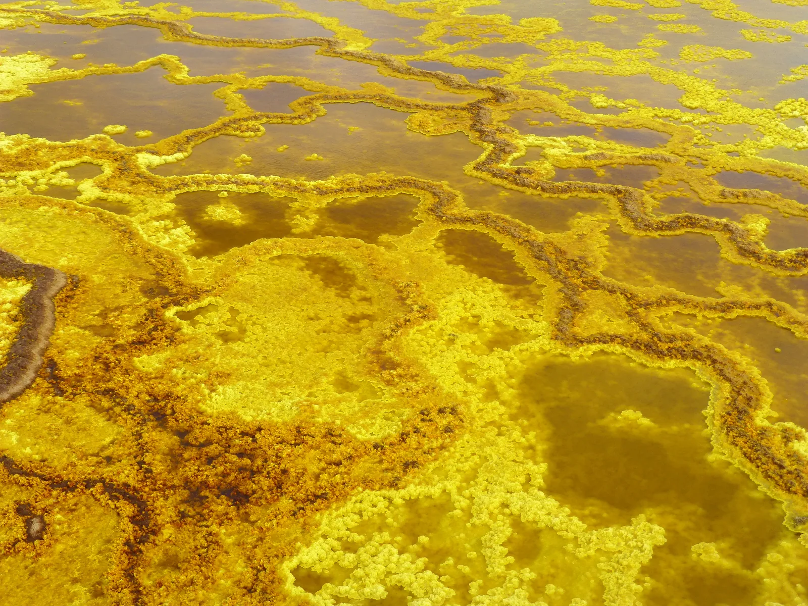
Dallol is a hydrothermal landscape; Erta Ale is a separate volcanic subject. Lake Asale, also called Karum, and Lake Afdera belong to the region’s salt-lake geography. Salt-working areas such as Ragad or Asebo add a human use of that landscape.
A short journey may cover only a subset of these places. Compare the named sequence rather than assume that the word Danakil includes every volcano, lake and salt site shown in a gallery.
Ethiopia guide
Dallol: understanding the mineral landscape
Place Dallol within the Danakil's salt and hydrothermal landscape, distinguishing the site from Erta Ale and the route details of a particular expedition.
ExploreEthiopia guide
Overnight arrangements in the Danakil
Understand why Danakil accommodation needs a detailed itinerary-specific discussion of sleeping arrangements, sanitation, water and each night's location.
ExploreEthiopia guide
When to consider a Danakil visit
Understand seasonal heat in the Danakil, why cooler months still need careful planning, and which current conditions must be checked for a specific route.
ExploreAfar, science and the limits of a photograph
The Afar region also matters to research on human origins. Lucy was found at Hadar, a distinct locality; it should not be conflated with Dallol or inserted as an automatic stop on a salt-and-volcano trip.
Hydrothermal colours and volcanic surfaces change. A photograph records one visible condition and can help explain a process, but it cannot establish today’s activity or access. Seek a geological explanation of the features you are actually able to observe, with a route assessed for that visit.
Dallol, salt lakes and volcanic subjects
Dallol's mineral landscape, Lake Asale and Erta Ale are separate subjects. Their names should not be used as interchangeable promises: a two-day salt-landscape itinerary need not include the volcano.
Read a route day by day
Check the ordered stops, start and finish and overnight location for the specific trip. Distances on a schematic map do not establish driving time or the condition of a route.
Establish current feasibility
Extreme environmental conditions make the support arrangements part of the essential plan. Present access, local permissions, water, shelter and the operator's procedures require confirmation before this editorial draft becomes a travel offer.
Journeys to explore alongside this guide
Use these related route ideas to compare the places, interests and time involved. Open each outline for its route context and any details still requiring review.
3 days · Itinerary
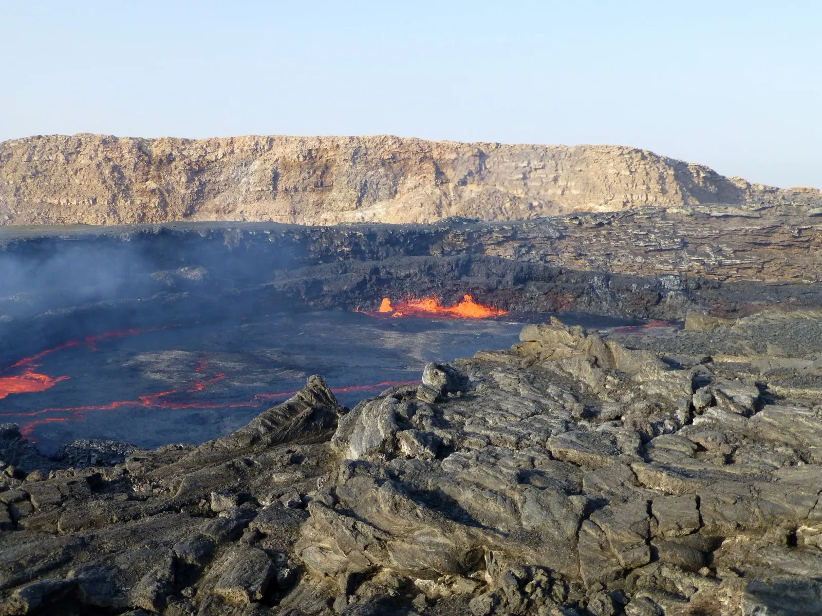
Three-Day Danakil Volcanic Traverse
Three days link Mekele with Erta Ale via Aksoma, then Hamed Ela, Dallol and Lake Afrera before the return to Mekele.
Explore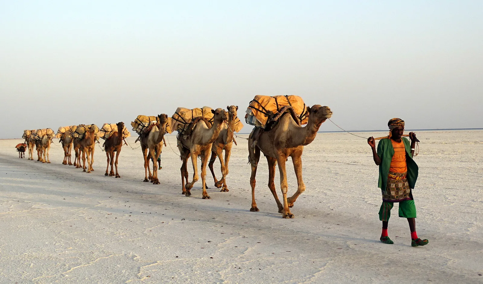
1 day · Itinerary
Danakil Salt-Landscape Day Trip
A single-day journey follows Berhale, Ahmed Ela, Lake Asale and Dallol before returning towards the Tigray highlands.
Explore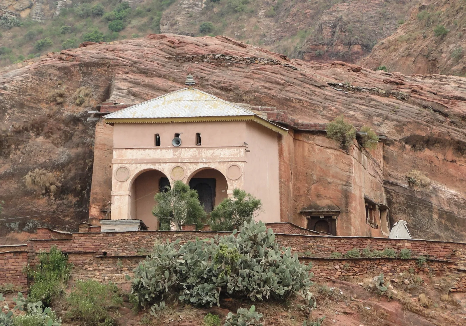
11 days · Itinerary
Tigray Community Trails and the Danakil
Eleven days connect Axum with a chain of Tigray community-trail locations before the route enters the Danakil for Erta Ale, Dallol and the salt lakes.
Explore2 days · Itinerary
Two Days in the Danakil Depression
Explore a proposed two-day Danakil route from Mekele through Berhale and Hamed Ela to Dallol, Lake Asale and the salt workings of Ragad.
Explore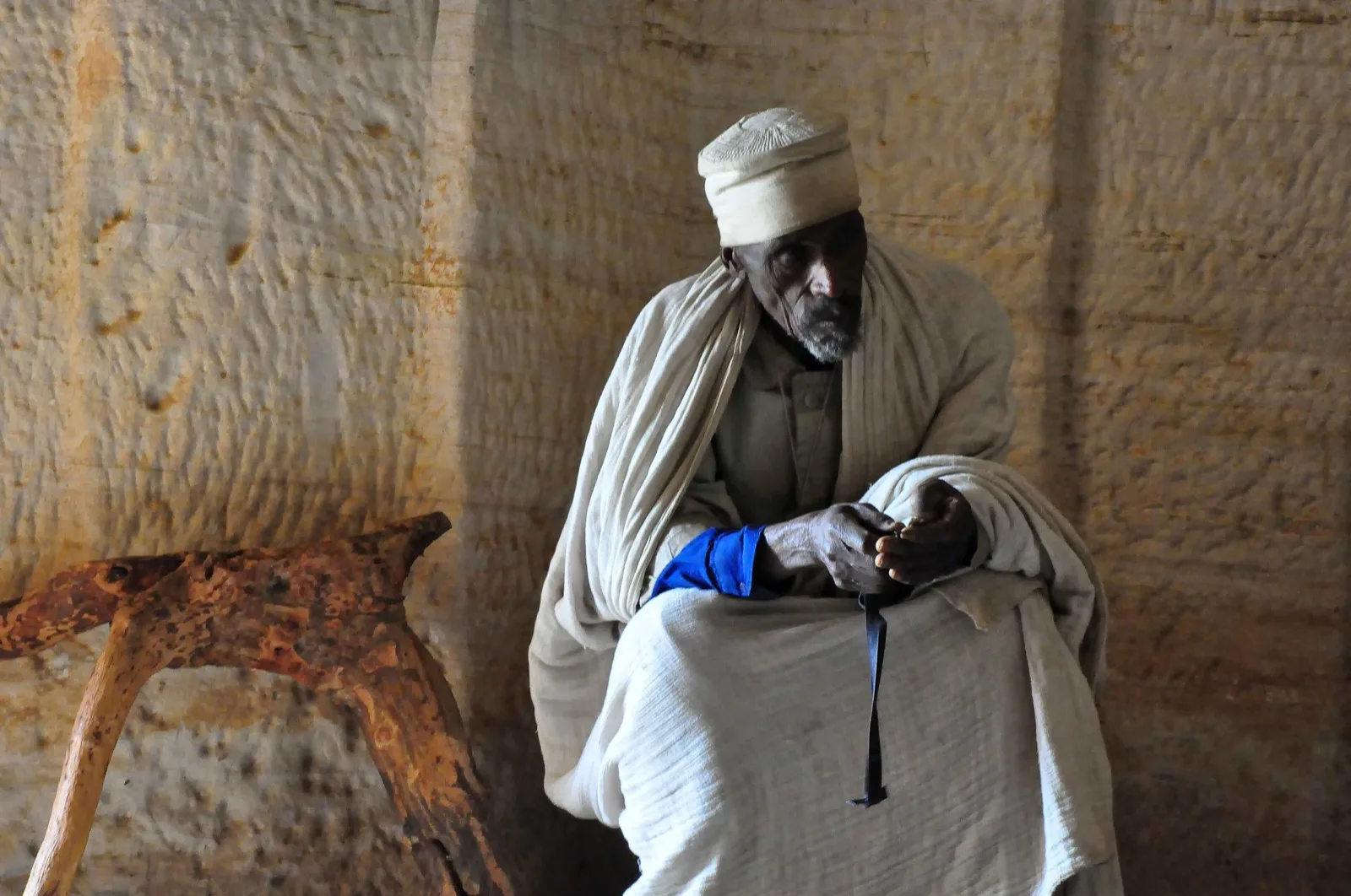
Route study
Danakil Depression and Gheralta Mountains
Explore a route concept pairing Tigray's sandstone highlands with Lake Afrera, Erta Ale, Dallol and Mekele, with the Lake Afrera to Erta Ale connection still to confirm.
Explore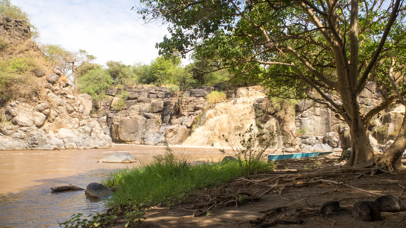
11 days · Itinerary
Harar, Awash and the Afar Volcanoes
An eleven-day east-to-north sequence joins Harar and Awash with Semera, Lake Afdera, Erta Ale, Dallol and Tigray.
ExploreOfficial sources
Check these primary sources directly; their current information takes precedence.
Not yet reviewed: no named reviewer or review date has been recorded for this page. The official sources above take precedence.
Related places and journeys
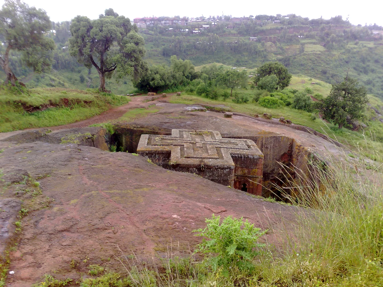
Ethiopia guide
All Trips
Compare Ethiopia journeys by their route, time on foot and regional focus.
ExploreEthiopia guide
Places to Visit in Ethiopia
Choose Ethiopia destinations by the kind of time you want to spend in them.
Explore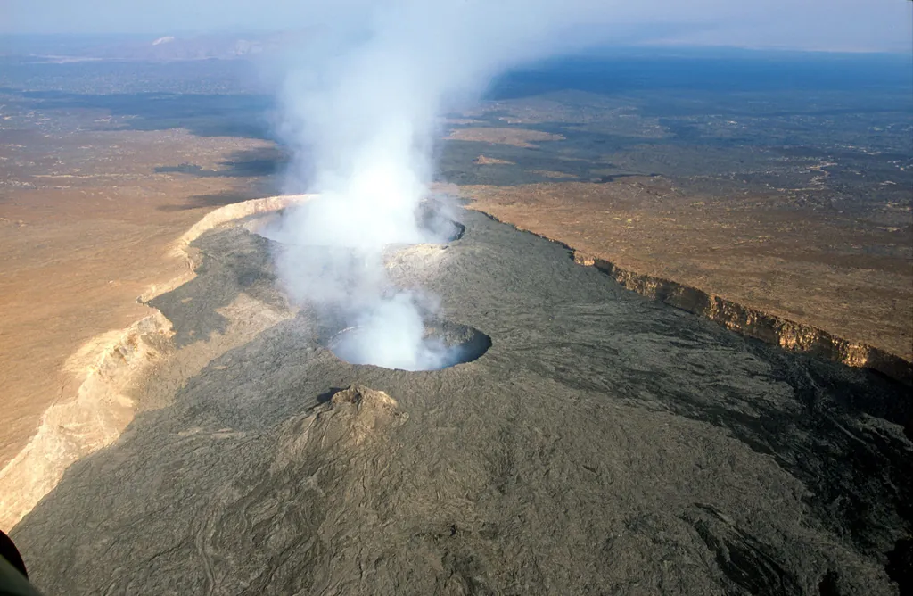
Ethiopia guide
Erta Ale: Volcanic Journey Planning
Understand Erta Ale as a separate Danakil volcanic objective, with questions about current activity, the approach, overnight arrangements and realistic expectations.
ExploreEthiopia guide
Dallol: Mineral Landscapes of Afar
Explore Dallol’s mineral formations and place in a Danakil route, with practical questions about the actual visiting area, local guidance and current access.
ExploreEthiopia guide
Lake Asale and the Danakil Salt Plains
Explore Lake Asale, also known as Lake Karum, through its salt-lake setting and relationship with Dallol, Ragad and the wider Danakil itinerary.
ExploreEthiopia guide
Lake Afrera in the Danakil Depression
Explore Lake Afrera’s place in the Danakil salt-lake landscape, distinguish it from Lake Asale and plan the details of a specific visit with the operator.
ExploreEthiopia guide
The Salt Lakes of the Danakil Depression
Compare Lake Asale and Lake Afrera in Danakil planning, understand their alternative names and ask the right questions about each proposed lake visit.
Explore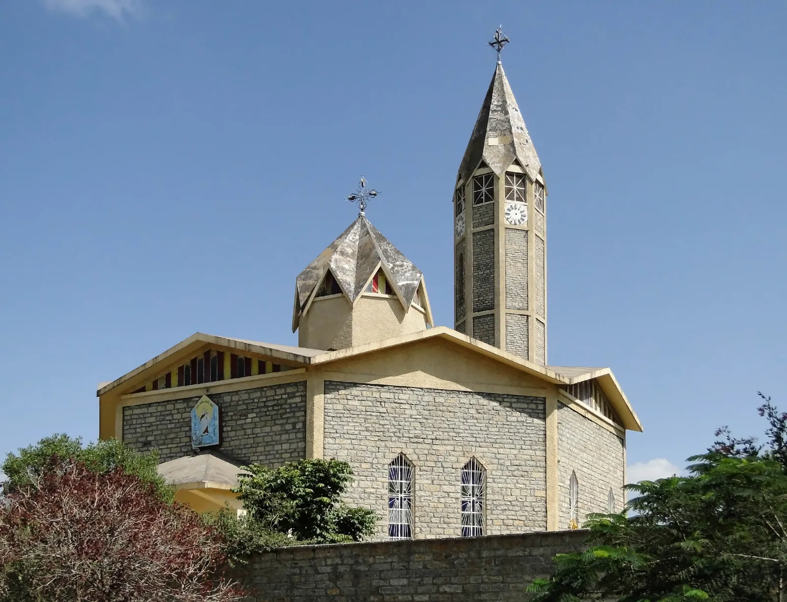
Ethiopia guide
Mekele: understanding the Tigray capital
Explore Mekele's role in Tigray's history and culture, with context for its urban heritage and questions to resolve before including it in a journey.
ExploreEthiopia guide
When to Visit Ethiopia
Choose when to visit Ethiopia by region, interests and festival plans, with a practical distinction between long-term seasonal patterns and conditions for your trip.
ExploreEthiopia guide
Getting to the Danakil Depression
Plan Danakil access around named stops, a confirmed gateway and local arrangements, with separate consideration for Dallol, Lake Asale and Erta Ale.
ExploreEthiopia guide
Flights to and Within Ethiopia
Plan Ethiopia flight connections around your actual route, with questions about tickets, baggage, airport transfers and buffers before onward travel.
Explore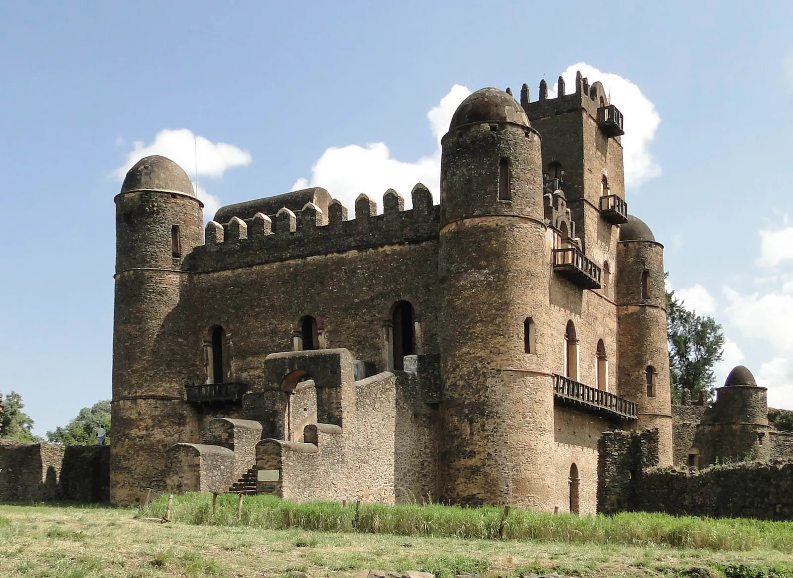
Ethiopia guide
Gondar: castles, churches and highland connections
Explore Gondar's Royal Enclosure, painted church interiors and relationship with the Simien Mountains, with a plan that gives the city its own attention.
ExploreEthiopia guide
Lalibela: churches, highlands and pilgrimage
Explore Lalibela's eleven rock-hewn churches, living worship and surrounding highlands, and build a visit with time for both architecture and context.
Explore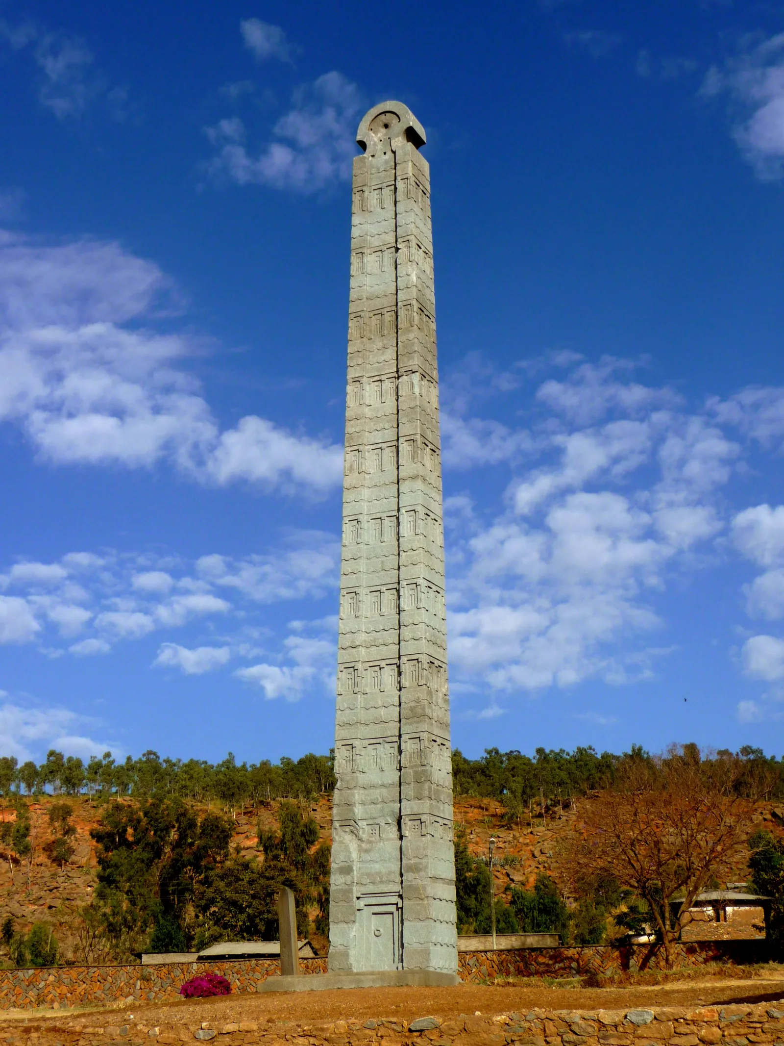
Ethiopia guide
Axum: archaeology and living heritage
Explore Axum's stelae, royal archaeology and religious traditions, and plan a visit that distinguishes historical evidence from stories of sacred heritage.
Explore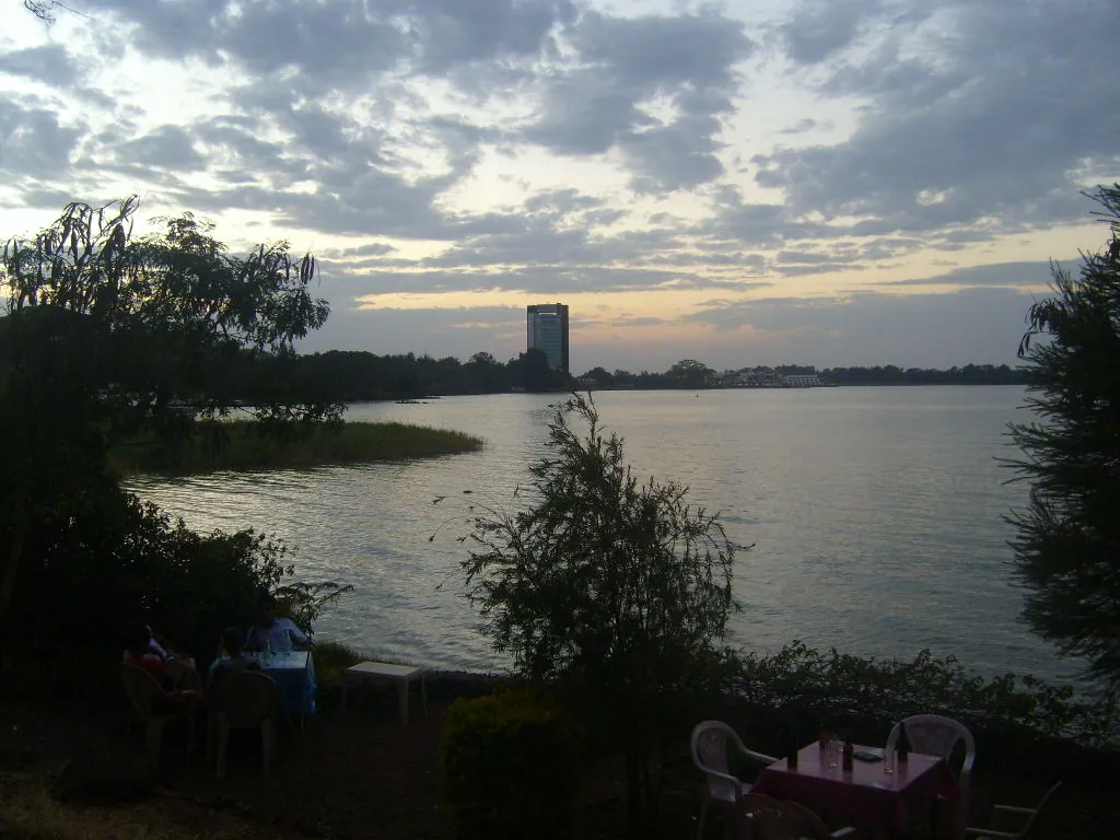
Ethiopia guide
Bahir Dar and Lake Tana
Explore Bahir Dar's Lake Tana setting, monastery heritage and links with the Blue Nile Falls, and decide how these different visits fit your interests.
Explore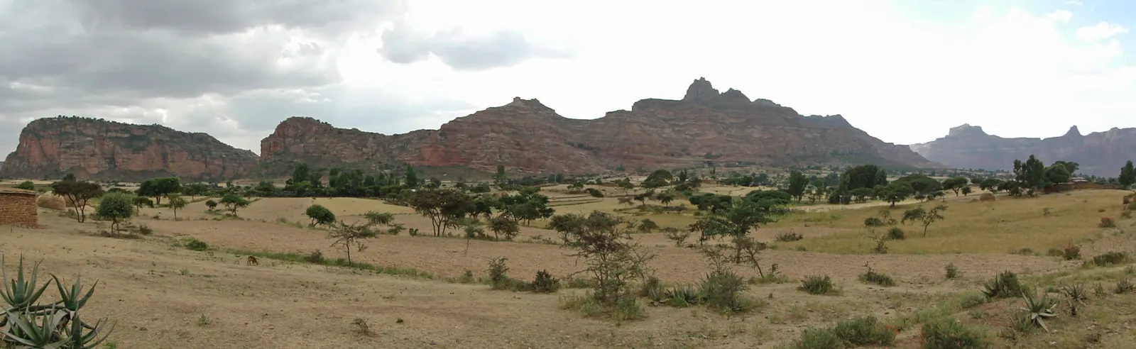
Ethiopia guide
Tigray: rock churches and highland history
Explore Tigray's sandstone landscapes, rock churches and links with Axum, while distinguishing historical travel context from present access and operations.
ExploreEthiopia guide
Community Trekking in Ethiopia
Explore community trekking through walking routes, locally hosted stays and thoughtful participation, with questions about ownership, guiding and the benefit to hosts.
Explore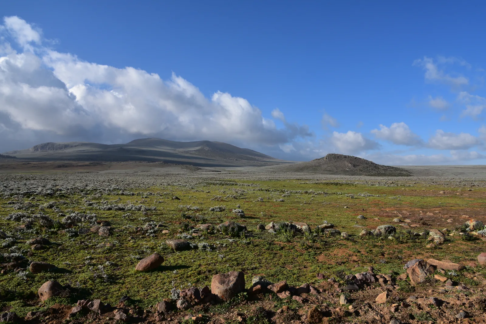
Ethiopia guide
Bale Mountains: plateau, forest and wildlife
Discover the Bale Mountains through the Sanetti Plateau, Harenna Forest and grasslands, and plan time around their distinct habitats and walking interests.
Explore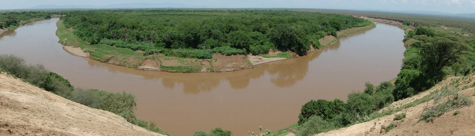
Ethiopia guide
Omo Valley: people, landscapes and respectful visits
Understand the Lower Omo Valley as a living cultural landscape, with guidance on locally agreed visits, photography, different bases and thoughtful pacing.
Explore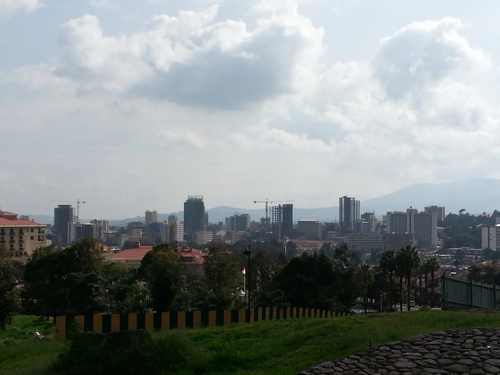
Ethiopia guide
Addis Ababa: culture, history and city time
Plan meaningful time in Addis Ababa around history, neighbourhood life, food and the city's highland setting, with a realistic pace between visits.
ExploreEthiopia guide
Danakil Depression Tours
The Danakil Depression contains several distinct landscapes.
ExploreEthiopia guide
Why Consider the Danakil Depression?
Explore Danakil’s salt lakes, mineral landscapes and volcanic subjects, while distinguishing separate route choices and the arrangements each requires.
ExploreShape your journey
Bring your preferred dates, interests and pace together in a planning draft.