
Blue Nile Falls: landscape and visit planning
The Blue Nile Falls, known as Tis Abay, are part of the river landscape downstream from Lake Tana. Their appearance changes with water flow, so the broader setting deserves attention alongside the waterfall itself.
Walking approaches and a possible boat crossing
There is a longer walking approach and a shorter alternative involving a river crossing, and the two can be combined. These are general descriptions, not fixed instructions: paths, crossings and boat arrangements need to be checked locally before choosing a line.
Ask the guide to explain what each option involves in terms of terrain, walking effort and the perspective it gives on the falls. If using a boat, identify the actual provider and present conditions. Bahir Dar is a different accommodation decision from staying near the falls, and the overnight should be named clearly in the wider plan.
The countryside around the water
The historical walking description includes a stone bridge and paths through the countryside around Tis Abay. Those features add a human and landscape setting to the waterfall. The chosen approach may involve different paths or a river crossing, so it should be specified rather than inferred from a single distance.
Leave time to stop and look at the river valley and birdlife. A wet-season photograph of a broad curtain of water and a later low-flow view show different conditions at the same place.
Connect Lake Tana, the outlet and the falls
Bahir Dar lies by Lake Tana, whose Blue Nile outlet begins the river journey towards the falls. Understanding that relationship makes the excursion more than a waterfall photograph.
Ask for recent information on the flow and the walking route before deciding how much of the day to devote to it. Lake Tana’s monasteries are a separate heritage experience; fitting both outings into one day should depend on the actual boat and road movements, not a general description of proximity.

Ethiopia guide
Lake Tana and Its Monasteries
Explore Lake Tana through its monastery traditions, island and peninsula visits, and relationship with Bahir Dar, with practical questions for planning time on the lake.
ExploreEthiopia guide
Bahir Dar and Lake Tana
Explore Bahir Dar's Lake Tana setting, monastery heritage and links with the Blue Nile Falls, and decide how these different visits fit your interests.
ExploreThink beyond a single photograph
Spray, visible flow and the character of the surrounding countryside vary. Ask about recent conditions and the proposed viewpoint instead of expecting an image taken at a different time of year to describe your visit.
Discuss the walk in detail
Confirm the intended approach, terrain, crossings and any alternative if conditions change. A guide can help explain the river and nearby countryside, making the visit more than a brief stop at a viewpoint.
Journeys to explore alongside this guide
Use these related route ideas to compare the places, interests and time involved. Open each outline for its route context and any details still requiring review.
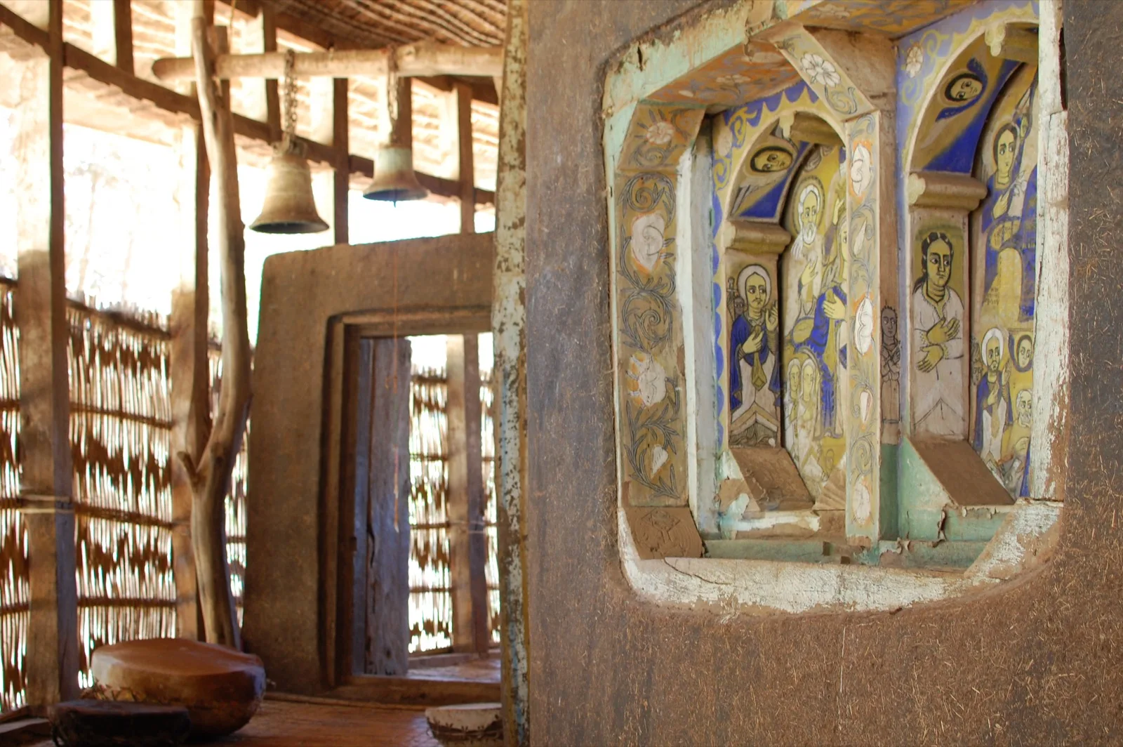
12 days · Itinerary
Northern Heritage with Lodge-Based Stays
Twelve days follow Bahir Dar, Lalibela, Gondar, the Simien Mountains, Axum and Hawzien.
Explore12 days · Itinerary
Northern Heritage and Simien Camping Circuit
Twelve days connect Bahir Dar, Lalibela and Gondar with four Simien walking stages, then continue through Axum and Gheralta before returning to Addis Ababa.
Explore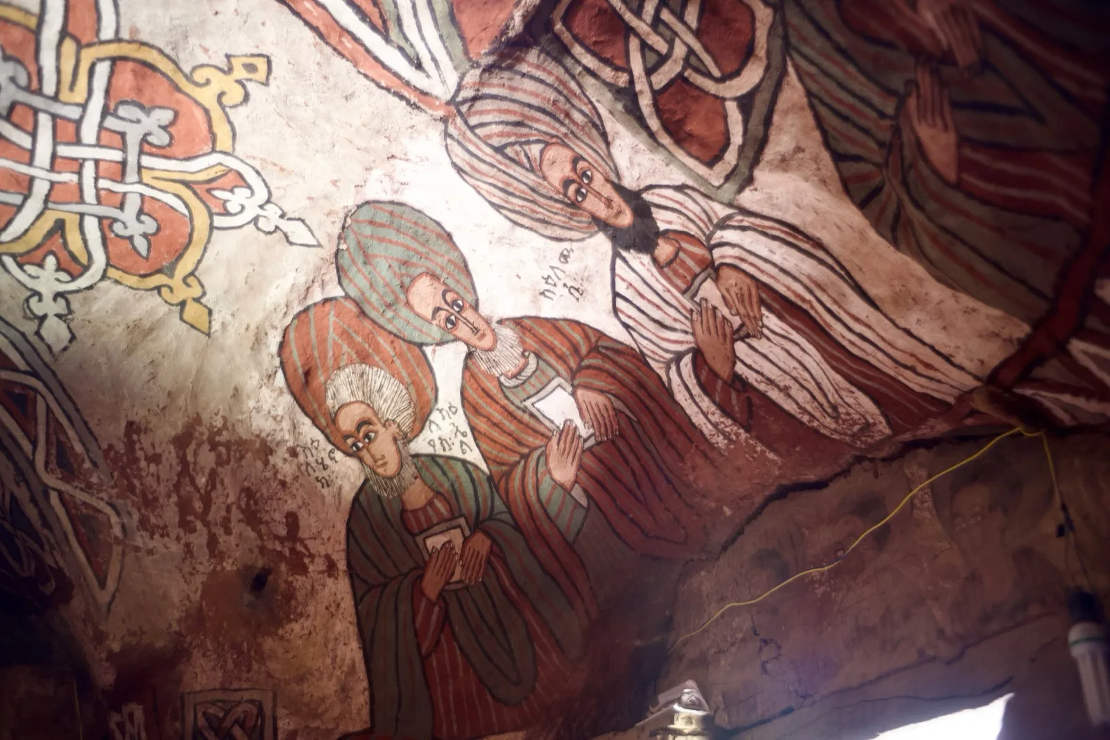
Route study
Historic North Circuit and Community Trekking
Explore a northern Ethiopia route concept combining Bahir Dar, Gondar, the Simien Mountains, Axum, Tigray community walking and Lalibela. The walking connection requires confirmation.
Explore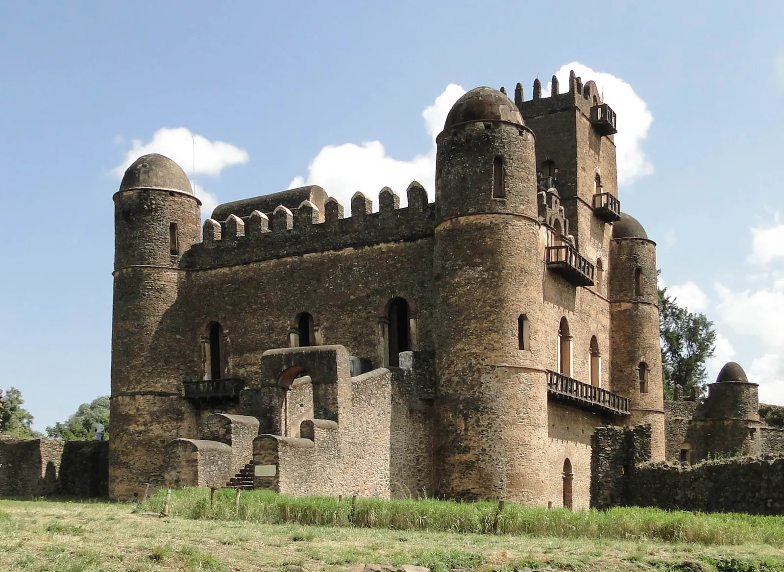
9 days · Itinerary
Nine Days through Ethiopia's Historic Towns
A nine-day heritage journey links Bahir Dar, Gondar, Lalibela and Axum with the old walled city of Harar in the east.
Explore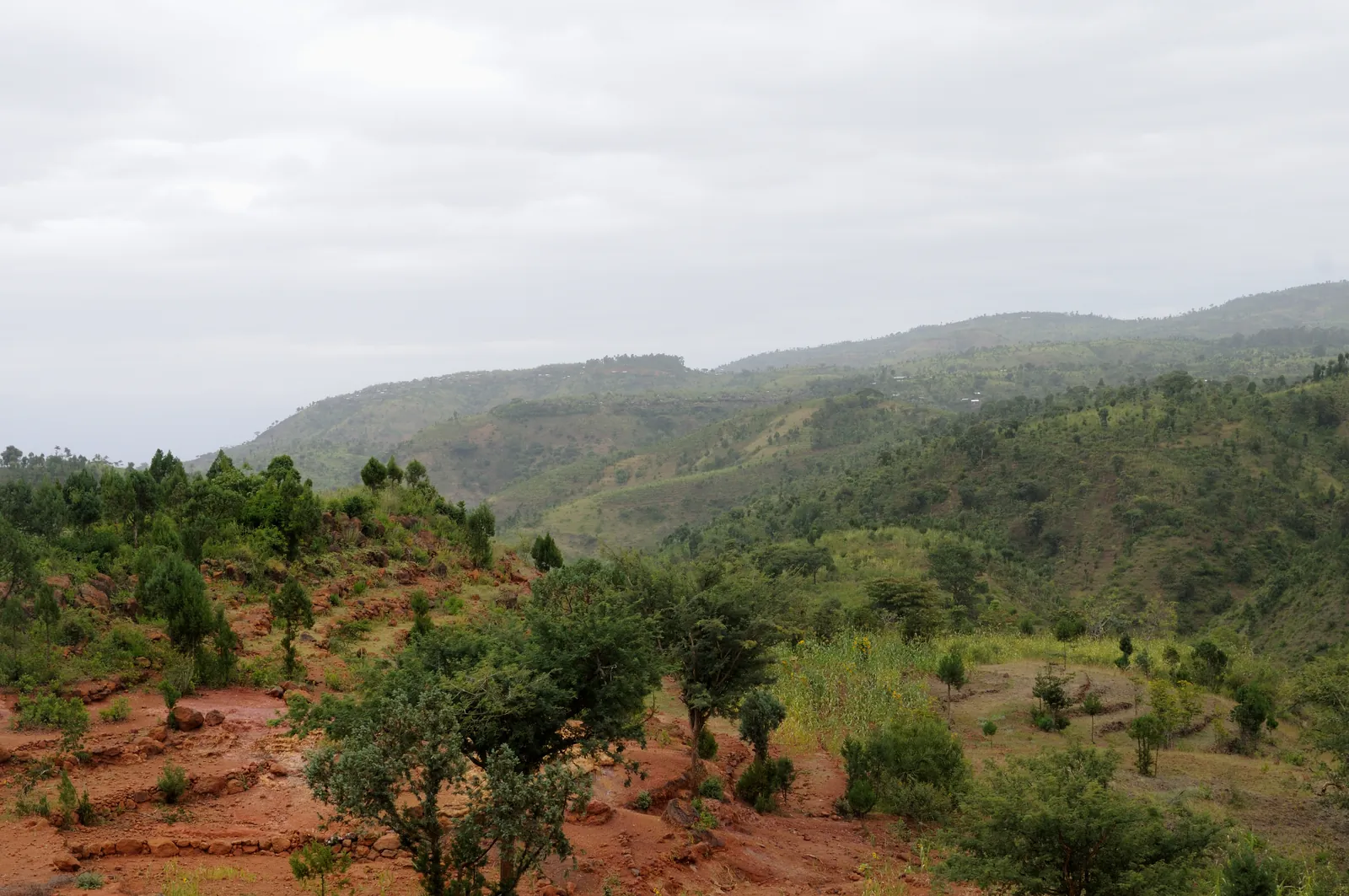
20 days · Itinerary
Twenty-Day Northern and Southern Ethiopia Survey
Twenty days join northern heritage cities and the Simien Mountains with Omo communities, Bale and the Rift lakes in one country-wide journey.
Explore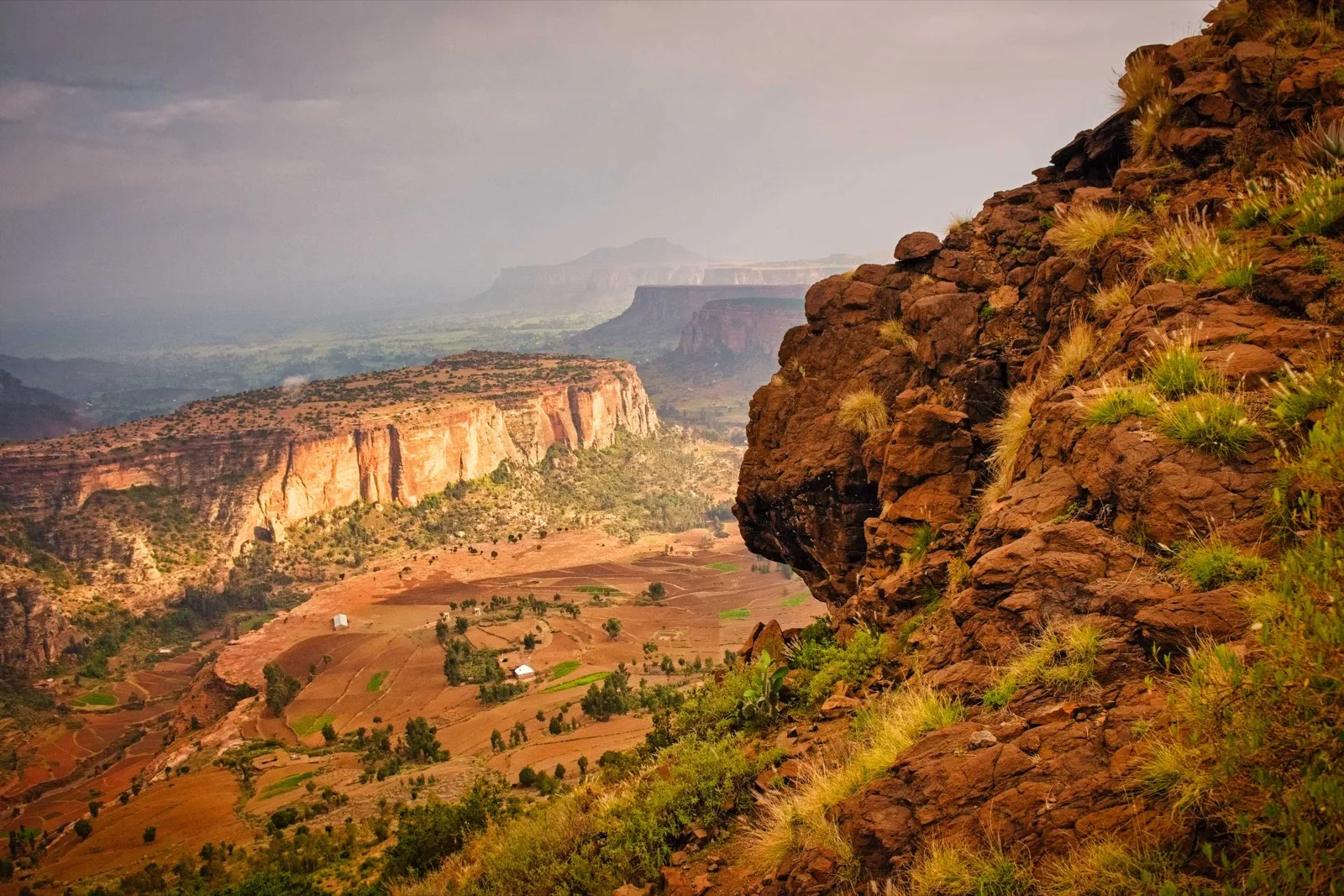
Route study
Community Trekking in Ethiopia: Route Study
Compare community walking around Wollo and Tigray with Lalibela, Gondar, the Simiens and Axum, and review the unresolved stages of this route concept.
Explore
6 days · Itinerary
Six-Day Northern Heritage Sampler
Six days connect Lake Tana and Gondar with Axum and two Lalibela church days, returning to Addis Ababa. The focus stays on heritage sites rather than trekking.
Explore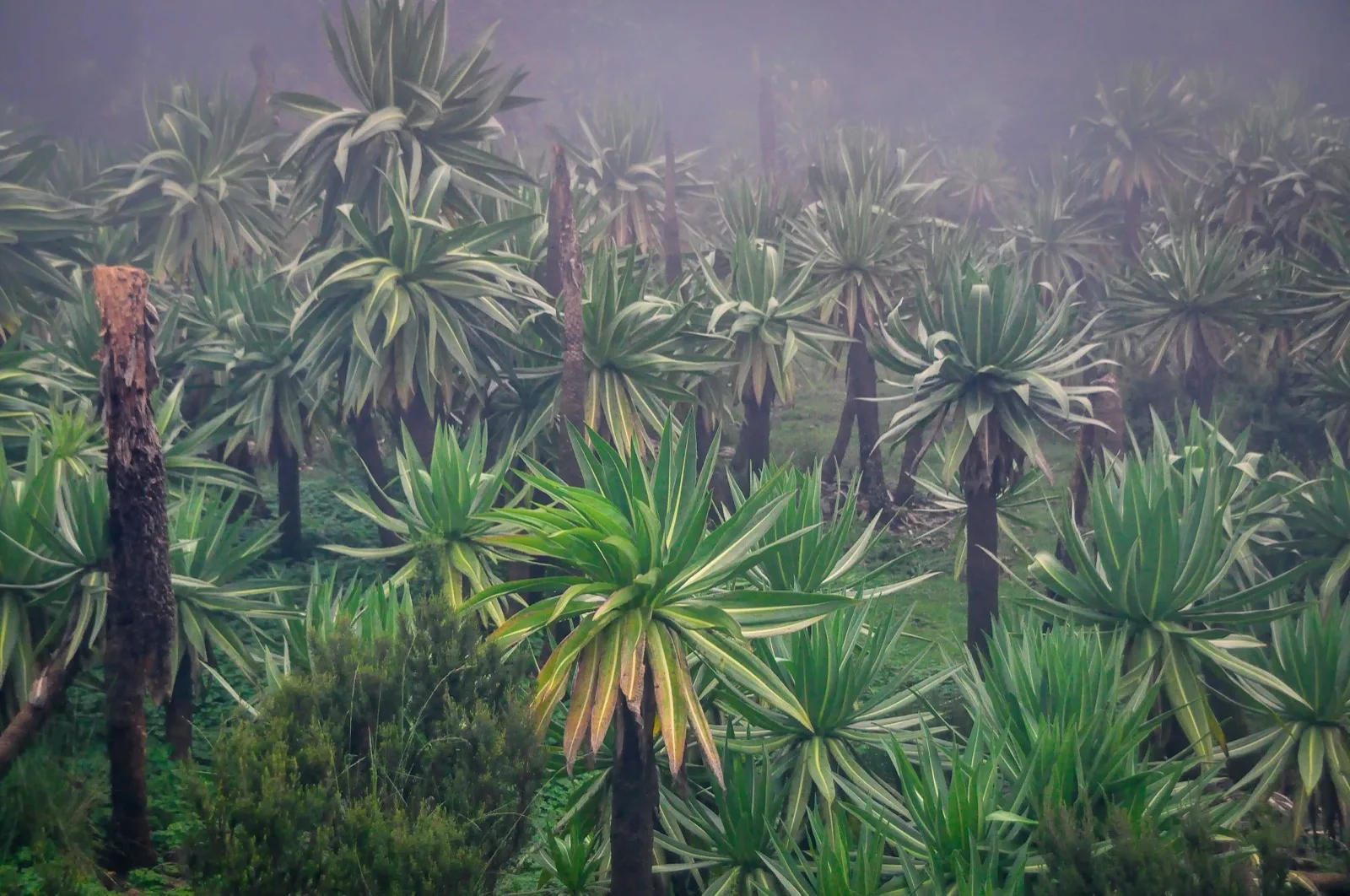
Route study
Peaks and Plateaus of Ethiopia
Compare Wollo and Tigray community walks, Lalibela, Gondar, the Simien Mountains and Axum in an Ethiopia route outline of twelve to thirteen days.
Explore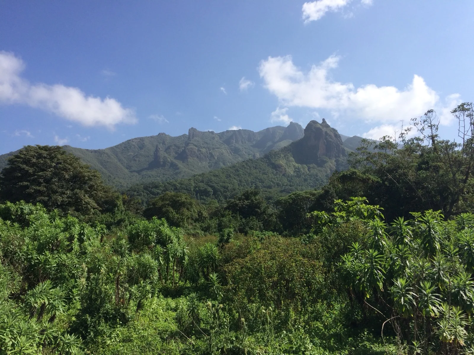
Route study
Trekking and Camping in the Bale Mountains
Explore a Bale Mountains camping and trekking concept across plateau and forest environments, with its overall length still to confirm.
Explore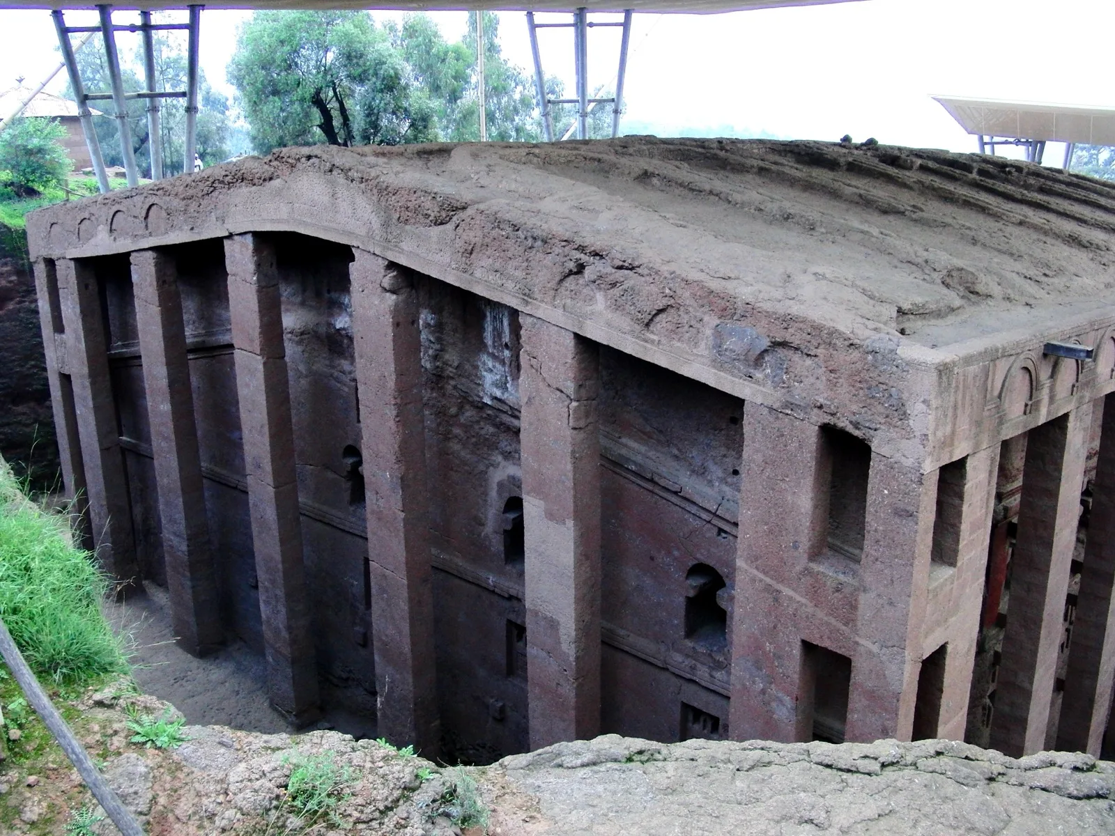
9 days · Historical Christmas programme
Lalibela Christmas and Northern Heritage: Historical Journey
A nine-day historical journey links Addis Ababa, Bahir Dar, Gondar and Axum with Lalibela and Tigray.
Explore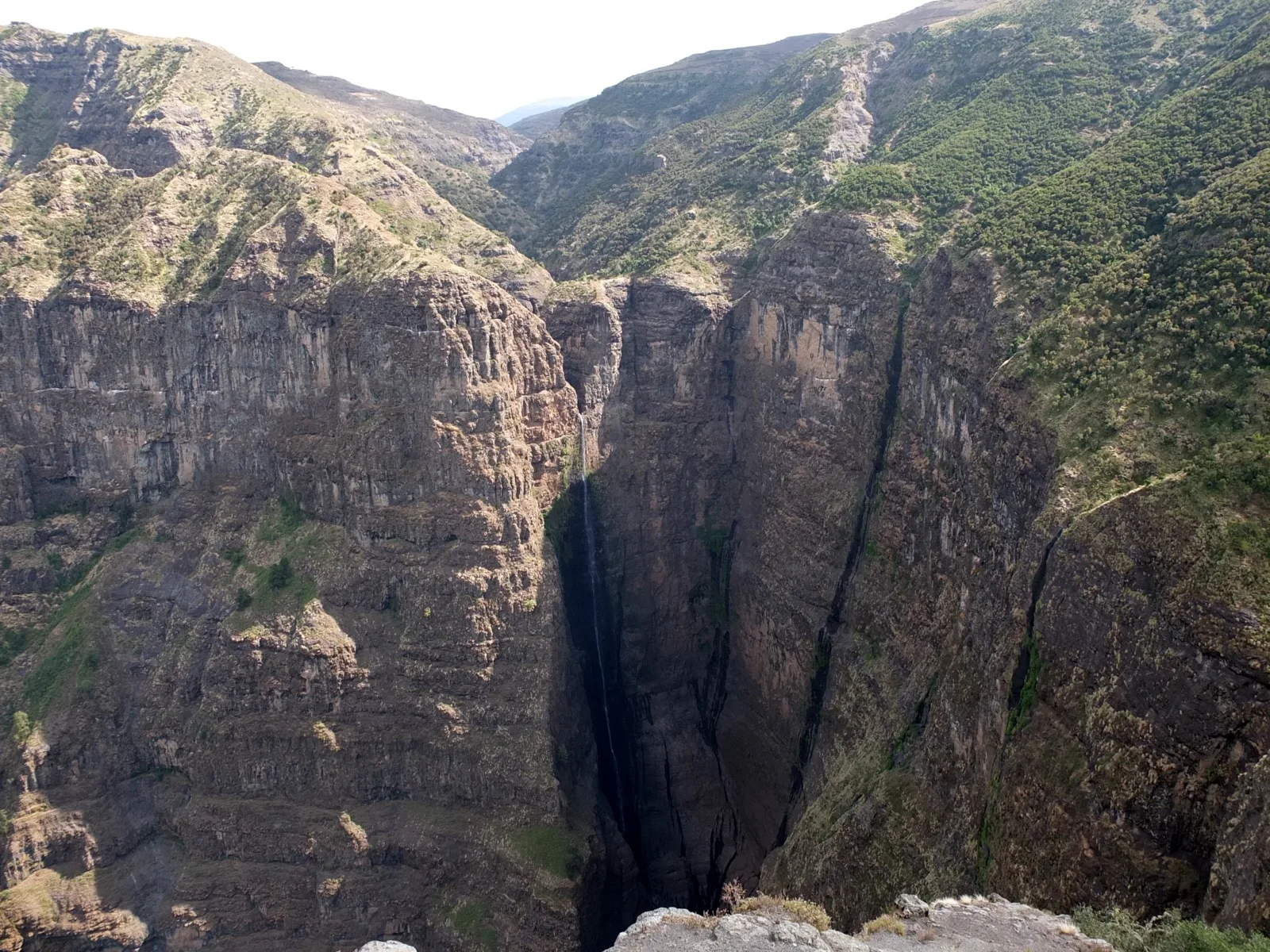
4 days · Itinerary
Four-Day Simien Walking Circuit
An introductory approach through Michibiny leads into three further days around Gich, Imet Gogo and Chenek, with a Bwahit option before the return to Gondar.
Explore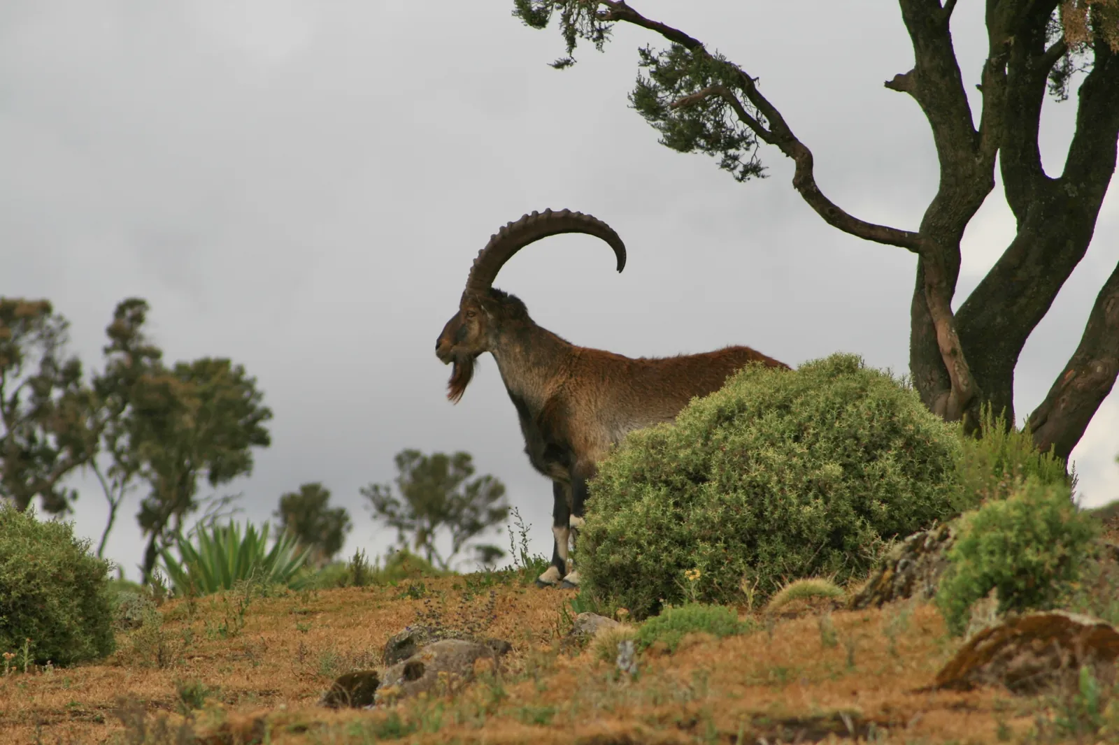
6 days · Itinerary
Six-Day Simien Trek towards Ras Dashen
Six days connect the western Simien camps with Ambiko and a Ras Dashen attempt.
Explore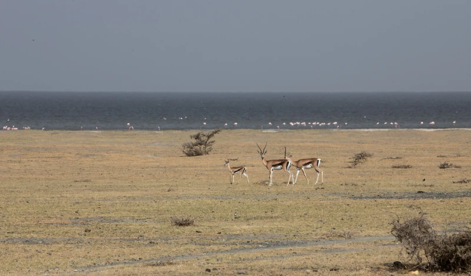
Route study
Birds of the Rift Valley and Southern Highlands
Explore an Ethiopia birding route through Ankober, Awash, the Rift Valley lakes, Bale and the southern highlands, with the southern lake stage still to confirm.
Explore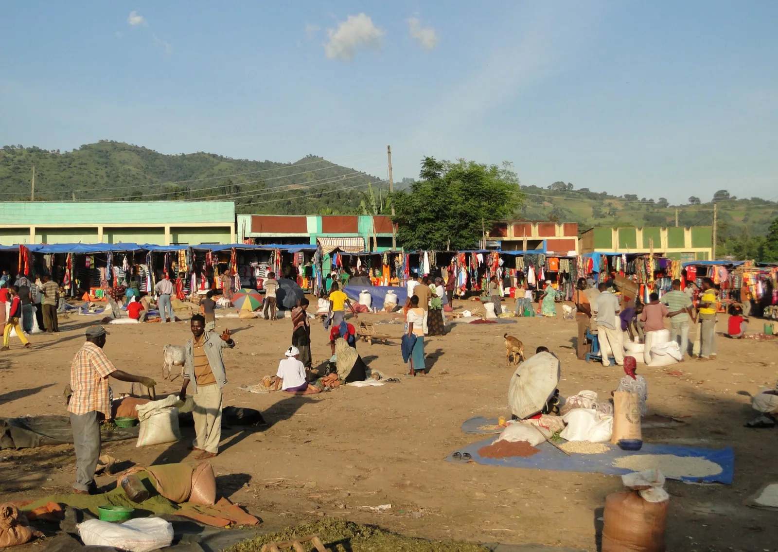
13 days · Itinerary
Southern Ethiopia: Omo Communities and Bale Highlands
Thirteen days connect Jinka and Turmi with Arba Minch, Yirgalem, Hawassa and Bale.
Explore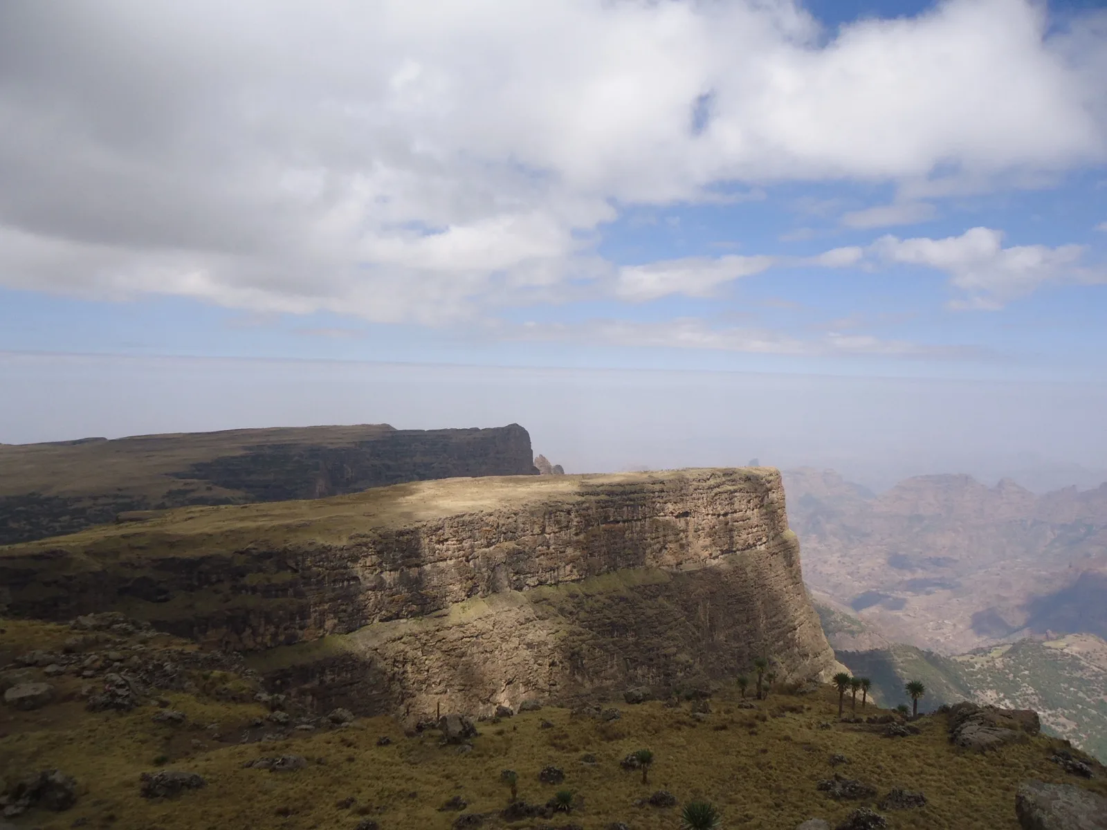
4 days · Itinerary
Four Days Camping in the Simien Mountains
Four days lead through Debark and the Simien camps of Sankaber, Gich and Chenek, finishing with a Mount Bwahit excursion.
Explore
5 days · Itinerary
Gondar and the Western Simien Ridges
Five days place Gondar before a Simien walking sequence through Imet Gogo and Bwahit, with a final return to Addis Ababa via Gondar.
Explore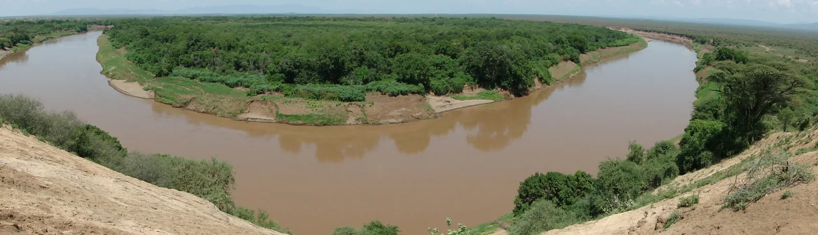
8 days · Itinerary
Omo River and Community Camping Journey
An eight-day river-oriented itinerary starts and ends in Addis Ababa, with separate stages around Murulle, Mago, Nyangatom communities and the Omo delta.
Explore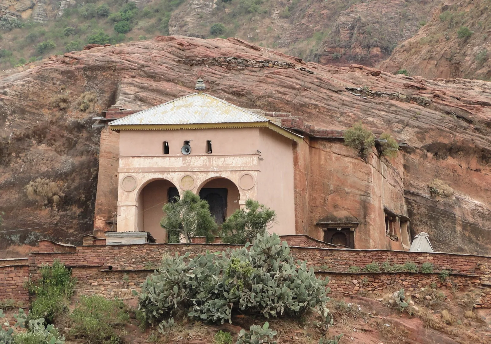
11 days · Itinerary
Tigray Community Trails and the Danakil
Eleven days connect Axum with a chain of Tigray community-trail locations before the route enters the Danakil for Erta Ale, Dallol and the salt lakes.
Explore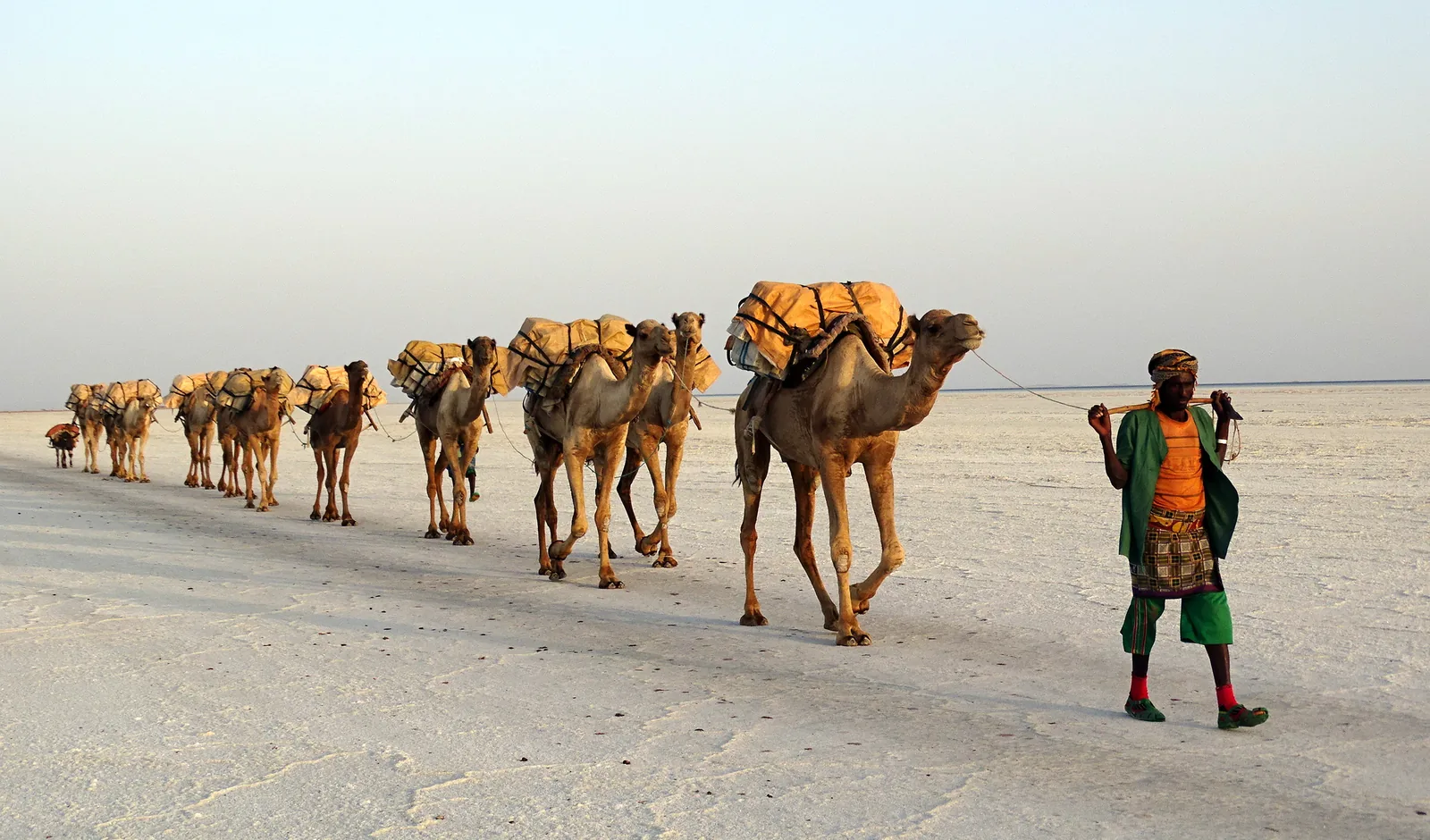
1 day · Itinerary
Danakil Salt-Landscape Day Trip
A single-day journey follows Berhale, Ahmed Ela, Lake Asale and Dallol before returning towards the Tigray highlands.
Explore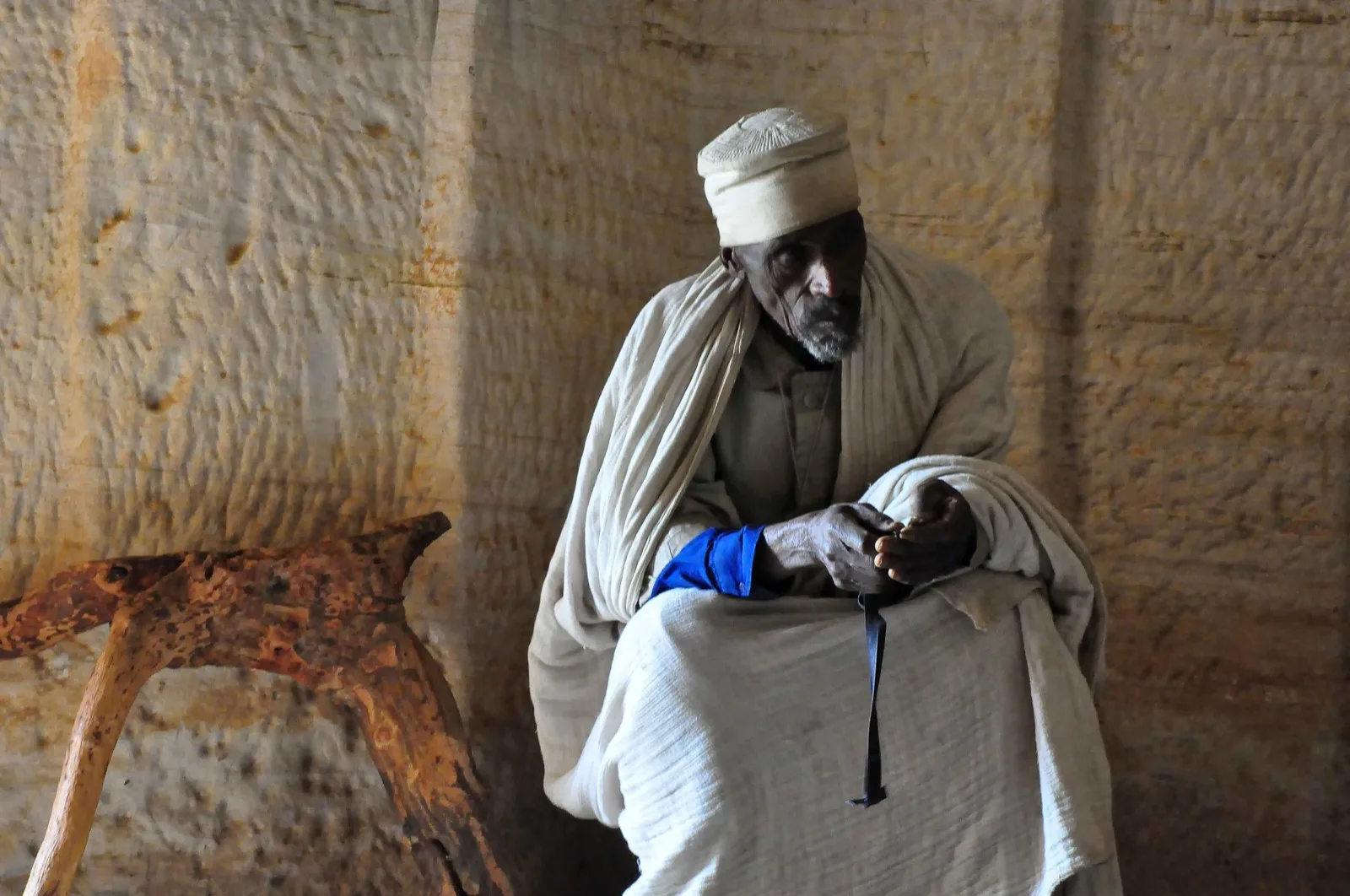
Route study
Danakil Depression and Gheralta Mountains
Explore a route concept pairing Tigray's sandstone highlands with Lake Afrera, Erta Ale, Dallol and Mekele, with the Lake Afrera to Erta Ale connection still to confirm.
Explore
13 days · Itinerary
Southern Cultures, Rift Lakes and Bale
Thirteen days connect Jinka and Turmi with Arba Minch, Hawassa, Bale and Langano.
Explore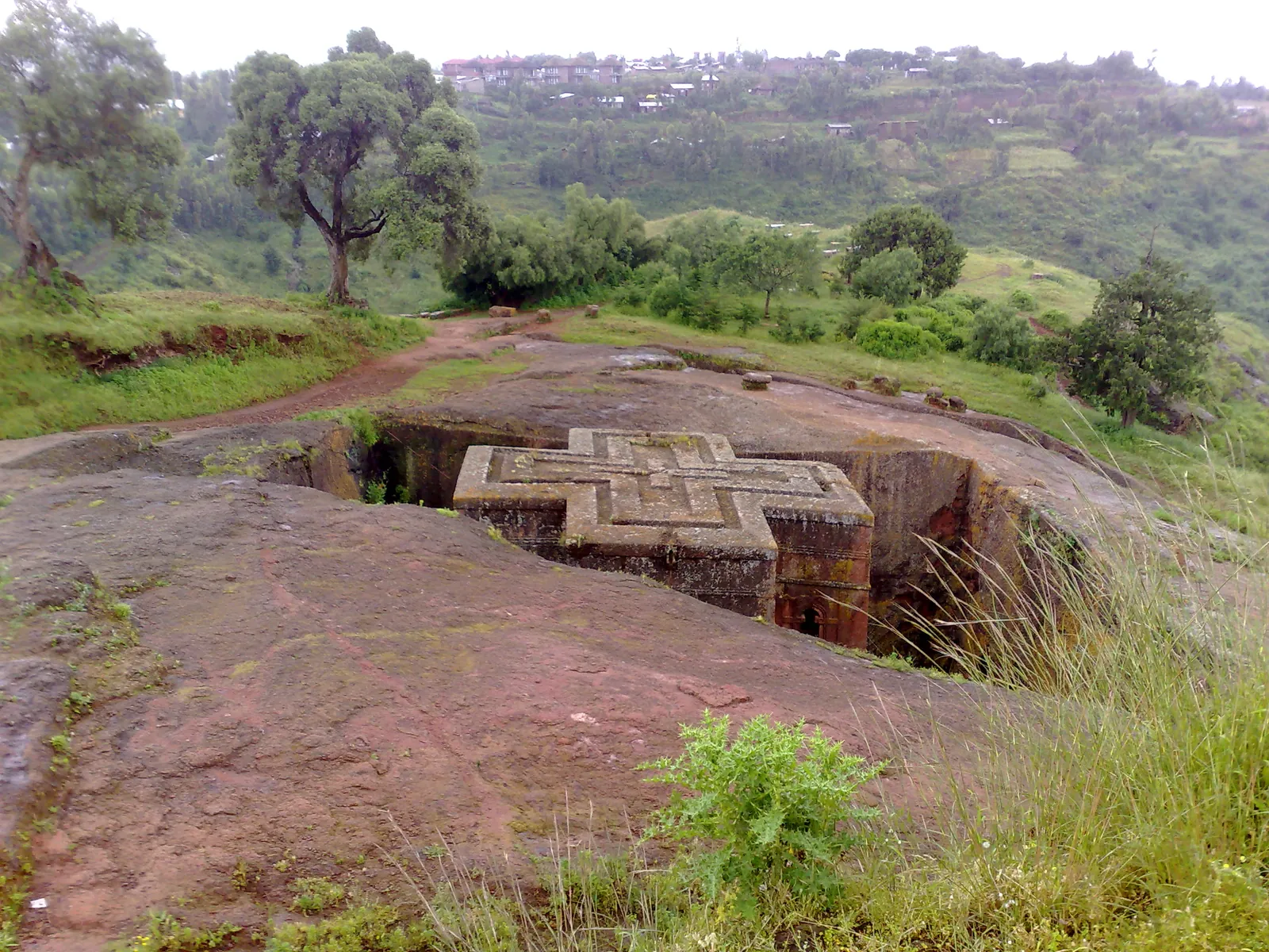
5 days · Itinerary
Lalibela Churches and Highland Walking
Five days combine Lalibela's church groups with a Hudad approach, an optional Abuna Yosef outing and Yimrehane Kristos before returning to Addis Ababa.
Explore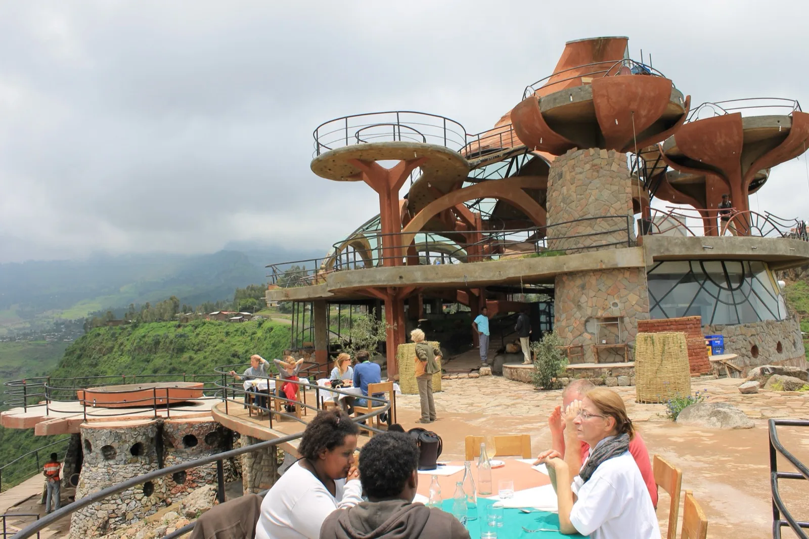
5 days · Archived 2020 eclipse programme
Archived Lalibela Eclipse Journey
This five-day historical itinerary combined Addis Ababa and Lalibela with a 2020 eclipse event.
Explore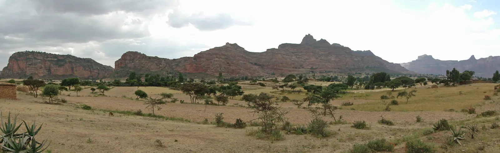
9 days · Itinerary
Northern Ethiopia by Air: Nine-Day Journey
A nine-day aerial concept links Gheralta and the Danakil with Axum, the Simiens, Gondar, Bahir Dar and Lalibela.
Explore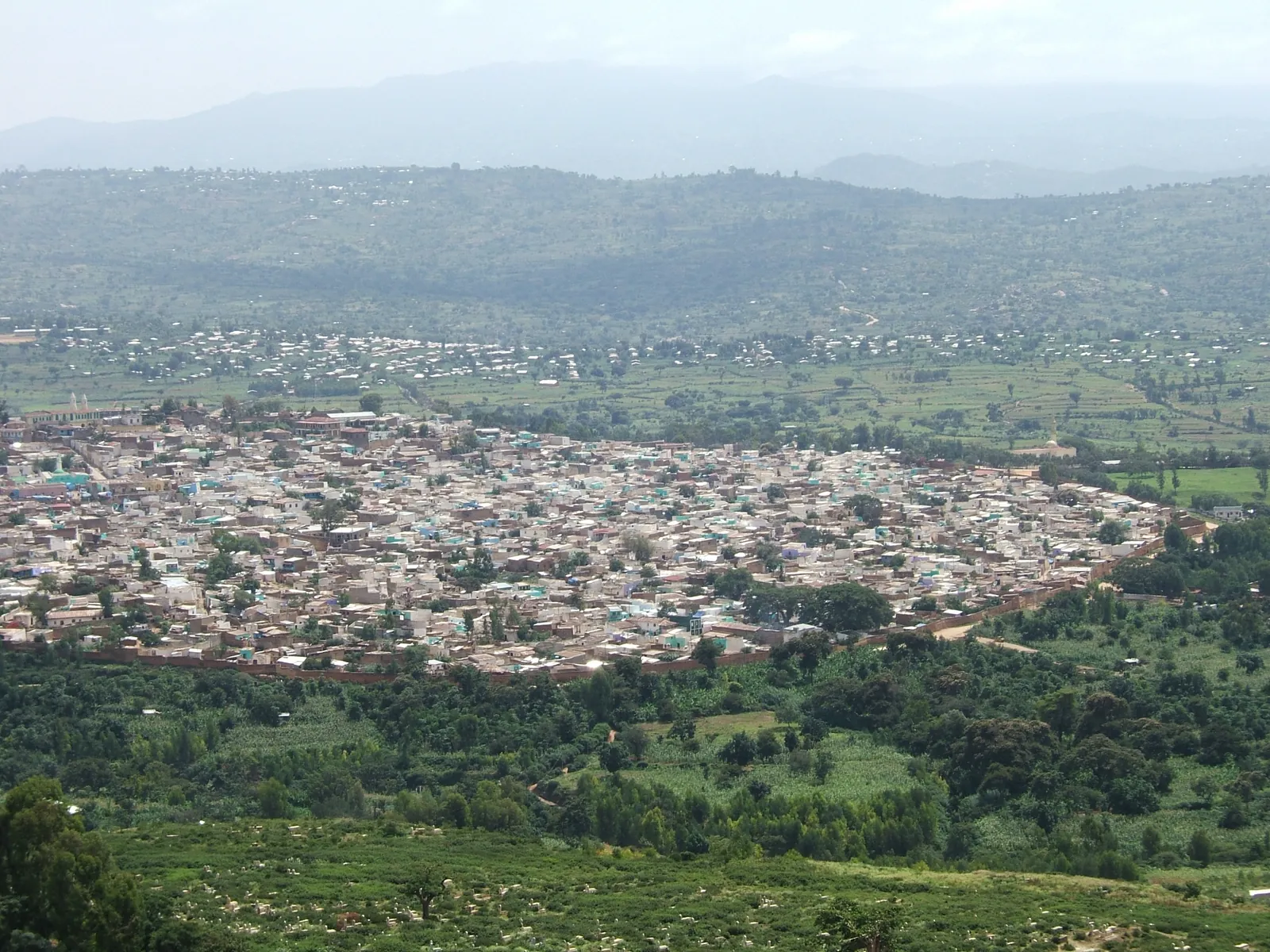
3 days · Itinerary
Three Days around Harar and Dire Dawa
A short eastern-city journey connects Dire Dawa and Awaday with Harar's old city, then returns through Dire Dawa to Addis Ababa.
Explore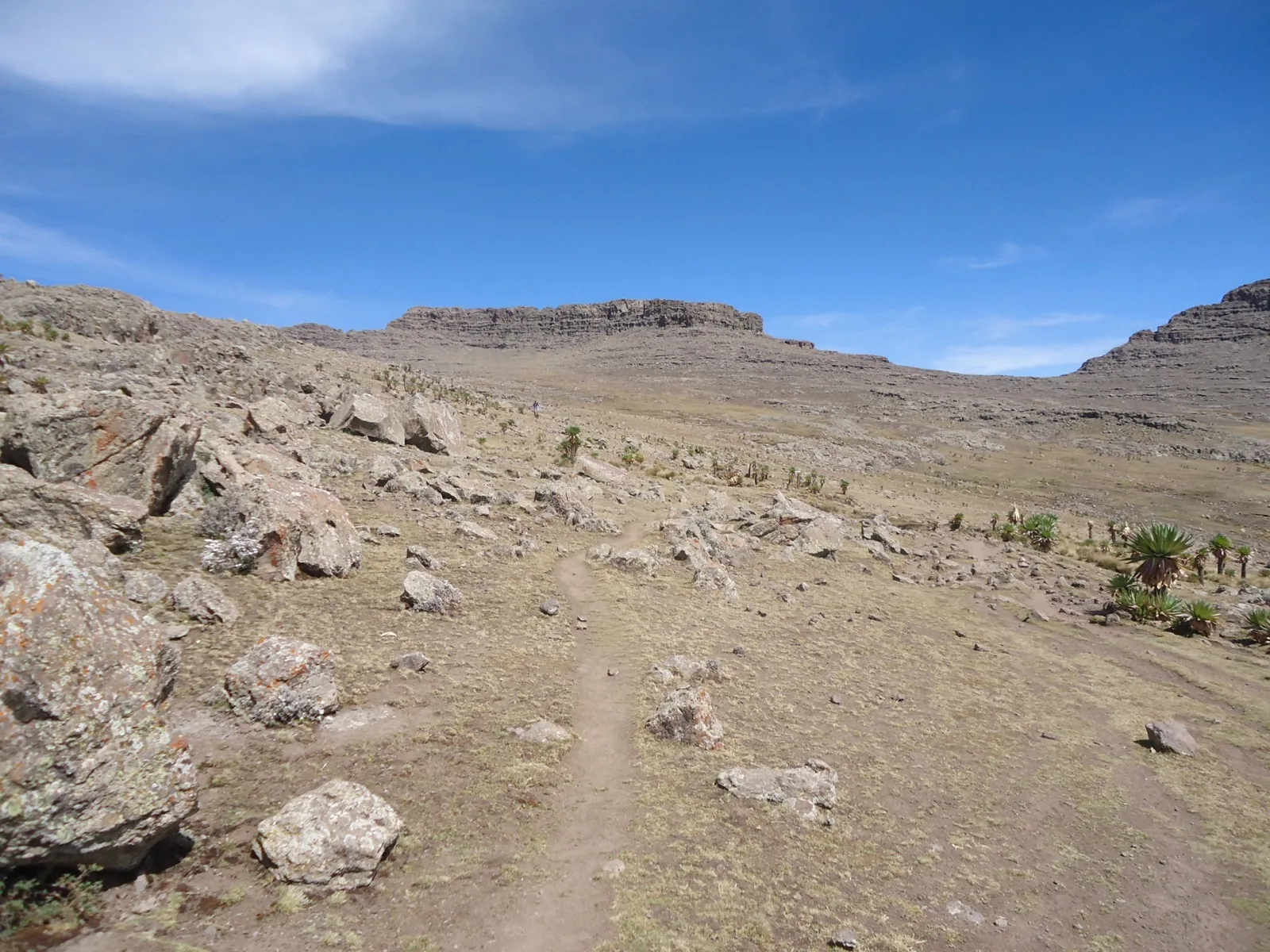
9 days · Itinerary
Nine-Day Simien Peaks and Lowland Traverse
This longer Simien route links Sankaber and Chenek with Ras Dashen, Kiddus Yared and the lowland stages through Sona, Mekerabiya and Mullit.
Explore
14 days · Itinerary
Fourteen-Day Aerial Journey through Ethiopia
A fourteen-day helicopter concept extends the northern heritage and mountain route into the Omo Valley and Bale.
Explore
Route study
Ethiopia Frontier Safari
Study an extended Ethiopia journey linking the Omo Valley, Gambella, Bale, the Simien Mountains and Lalibela, with its daily schedule still to confirm.
Explore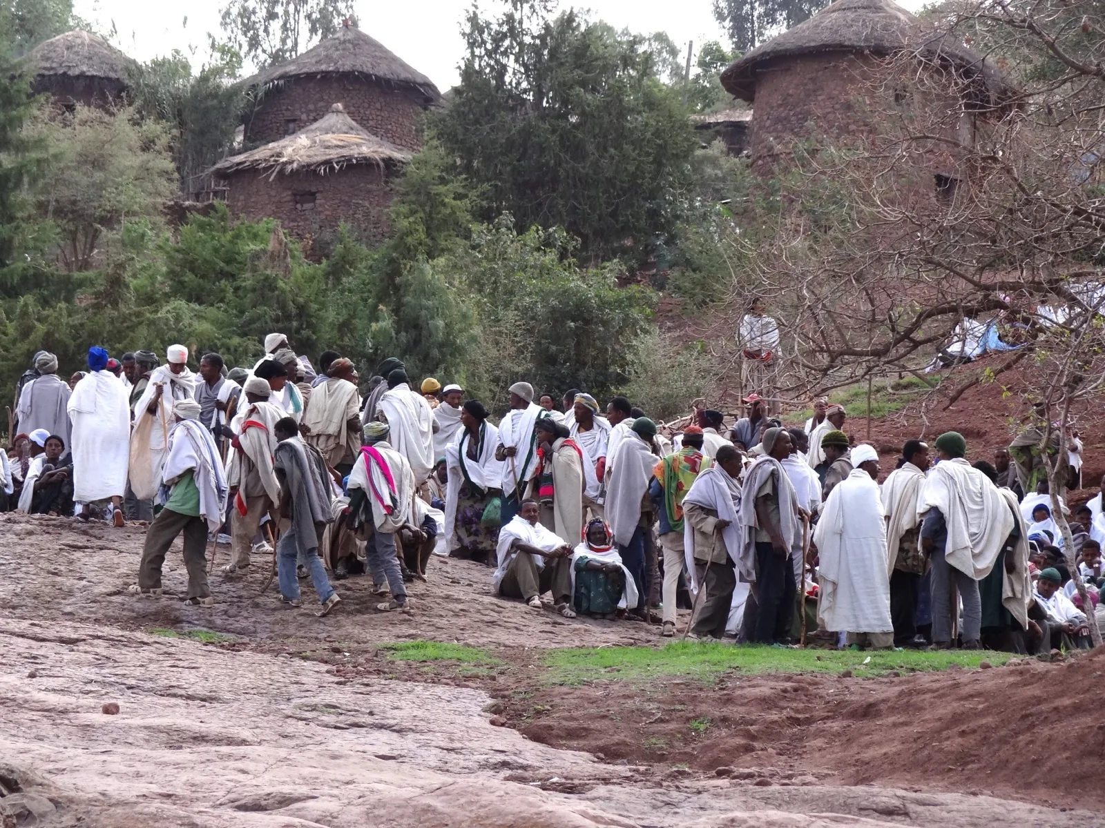
Archived Christmas programme
Historic North and Christmas in Lalibela
Explore an archived Christmas-themed northern Ethiopia route concept with Lalibela at its centre. Its January dates are historical, not a current departure.
Explore
3 days · Itinerary
Three Days on the Simien Ridges
Three days walk from Sankaber and Gich across Imet Gogo to Chenek, with an optional Ras Bwahit summit, starting and finishing in Gondar.
Explore
12 days · Itinerary
Natural Landscapes of Northern and Southern Ethiopia
Twelve days connect the Simien Mountains with Awash, the Rift Valley lakes and Bale in a north-to-south journey through contrasting landscapes.
Explore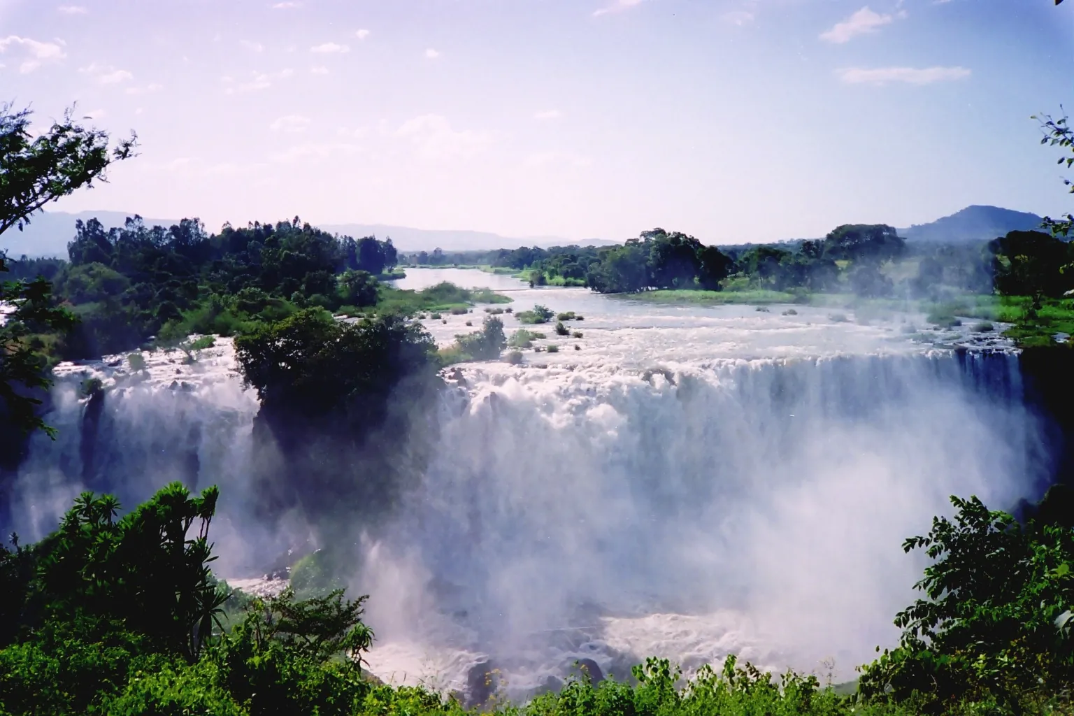
21 days · Itinerary
Twenty-One-Day Northern Ethiopia Odyssey
This extended northern route combines Lake Tana, the Simien trail, Axum, Tigray community walking and Lalibela's highlands, giving each section more space than a short circuit.
Explore
11 days · Itinerary
Omo Valley overland Community Journey
Eleven days follow an overland approach through Arba Minch and Konso to Jinka and Turmi, then return through Dorze and Hawassa.
Explore
6 days · Itinerary
Six Days in the Gambella Wilderness
Six days connect Addis Ababa with a Gambella-focused programme of wetlands, plains and river-country observation.
Explore
10 days · Itinerary
Ten-Day Rift Valley and Bale Nature Journey
Ten days link Awash, Langano, Hawassa and Bale, giving the park and lake sections their own days before returning through Robe to Addis Ababa.
Explore
4 days · Itinerary
Four-Day Rift Valley and Bale Road Journey
A four-day sequence starts in Addis Ababa, reaches Langano through Ziway, continues into Bale and returns through Hawassa.
Explore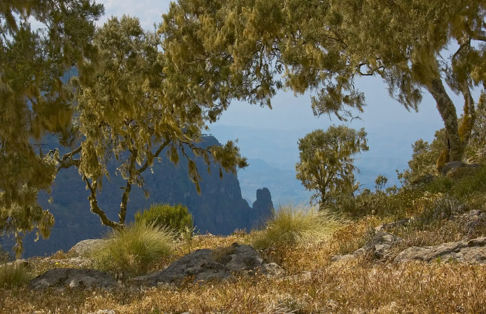
Route study
Simien Mountains and Northern History
Combine the interests of Lalibela, Gondar and the Simien Mountains in a northern Ethiopia route study, with the final connection still to confirm.
Explore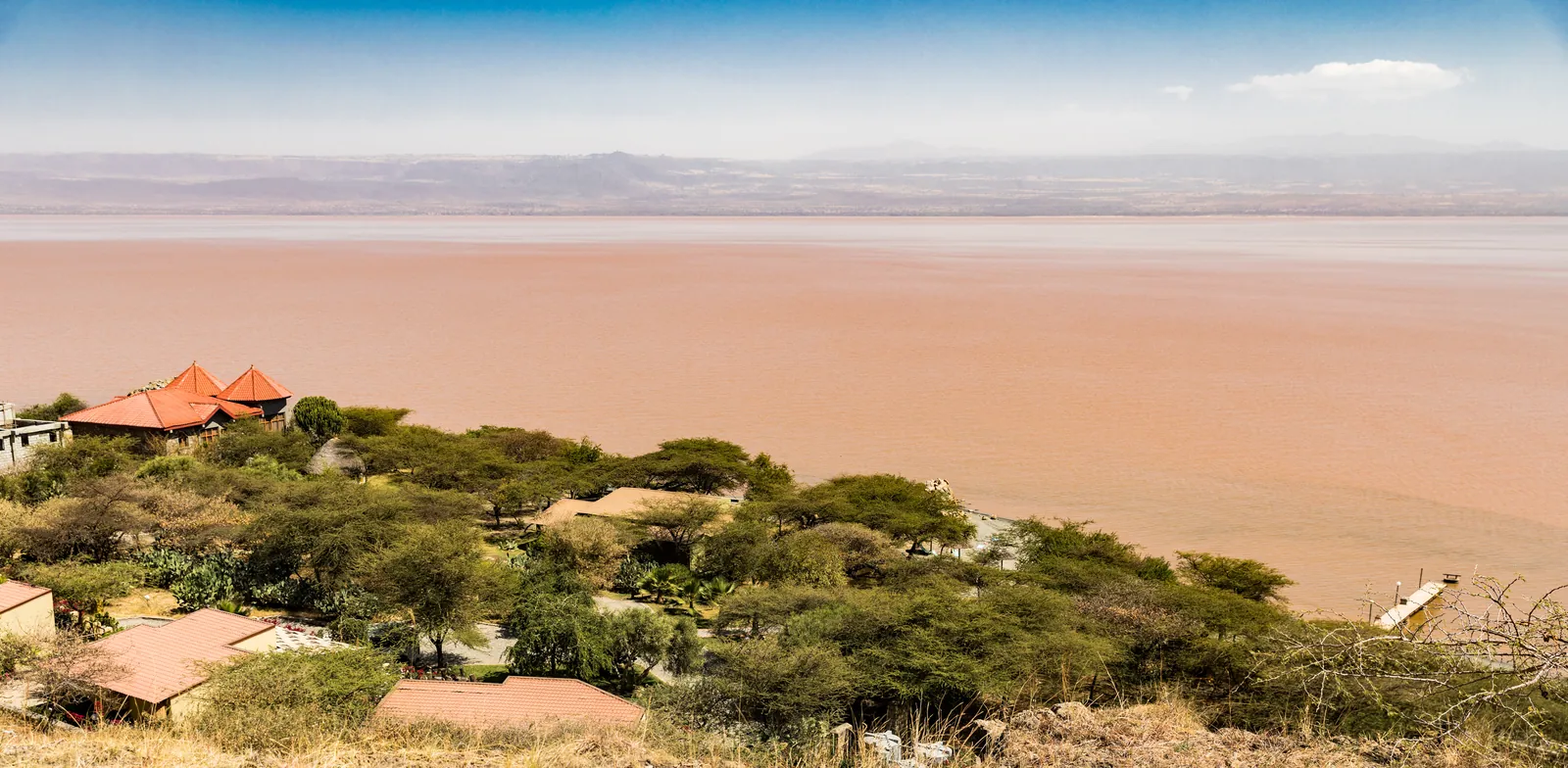
23 days · Itinerary
Southern and Eastern Ethiopia over Twenty-Three Days
This extended route gives the Rift lakes, Dorze, Omo communities, Bale, Awash and Harar their own stages, allowing unhurried time in the south and east.
Explore
11 days · Itinerary
Southern Ethiopia by River and Highland
Eleven days link Gambella, the Omo River and Bale in a charter-based concept.
Explore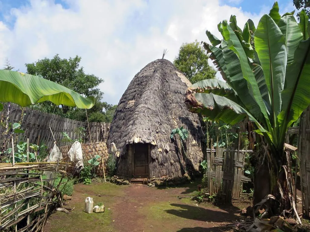
9 days · Itinerary
Nine-Day Southern Highlights
Nine days connect Dorze, Arba Minch, Turmi and Jinka, combining community visits and a lake excursion before the return north.
Explore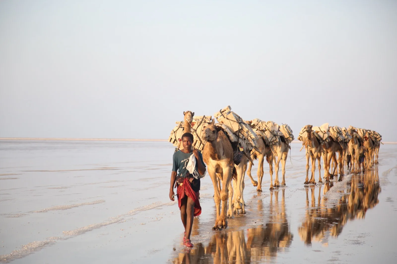
Route study
The Best of Ethiopia — Route Overview
Explore a multi-region Ethiopia concept spanning Danakil, Tigray, Lalibela, the Simien Mountains, Gondar, Bale and Omo, with the final days still to confirm.
Explore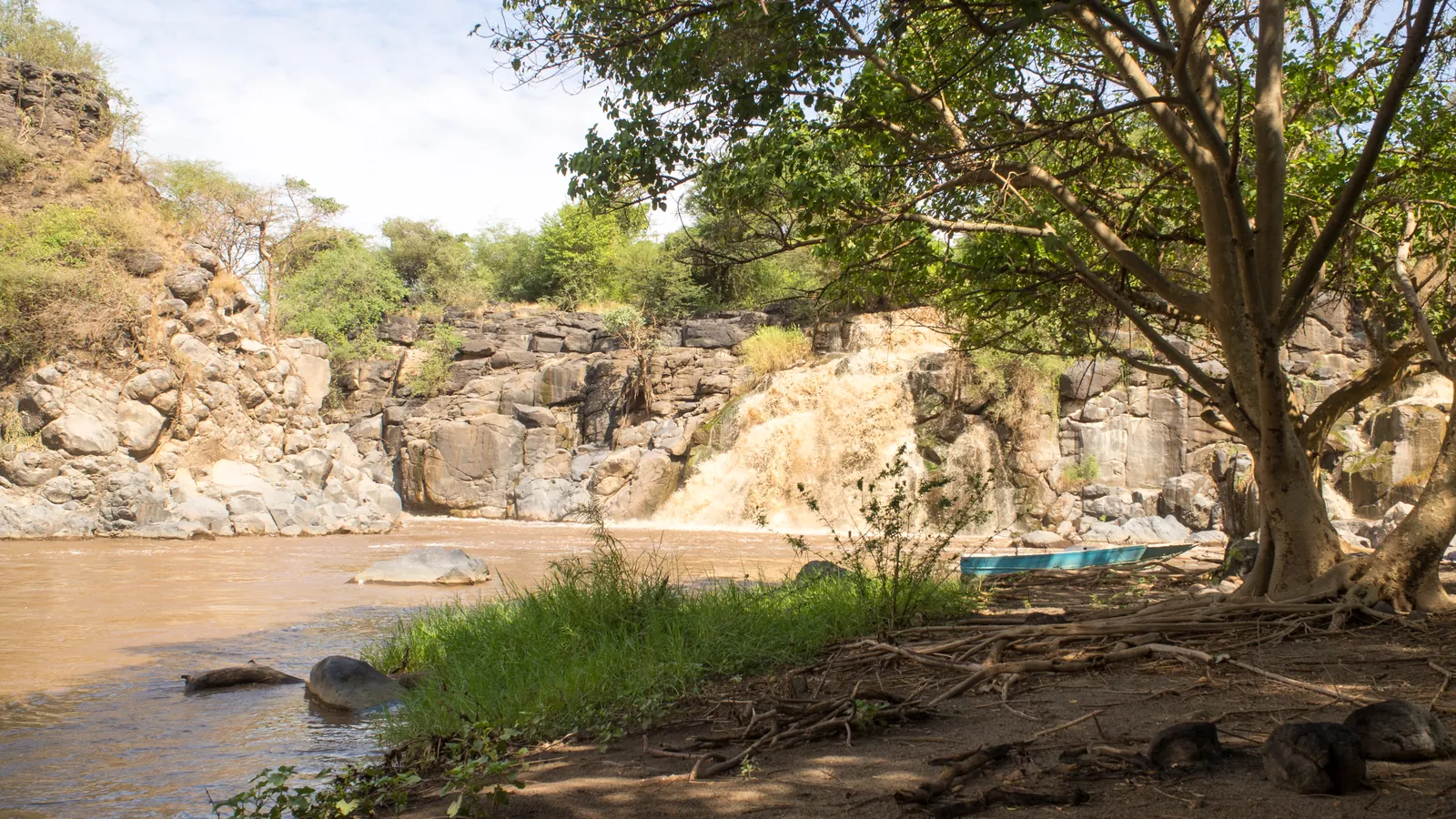
11 days · Itinerary
Harar, Awash and the Afar Volcanoes
An eleven-day east-to-north sequence joins Harar and Awash with Semera, Lake Afdera, Erta Ale, Dallol and Tigray.
Explore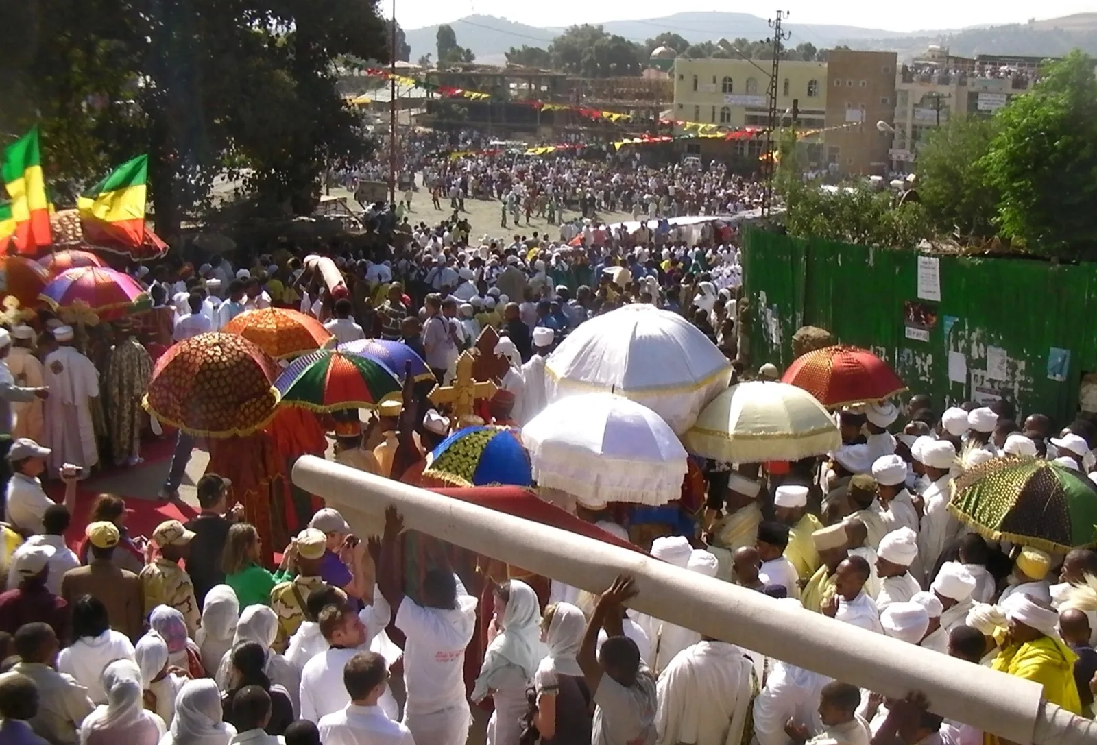
16 days · Archived Timket programme
Archived Timket on the Wollo and Tigray Plateaus
Sixteen historical days join Wollo community trails and a Timket occasion with Lalibela, Gondar, the Simiens, Axum and Tigray.
Explore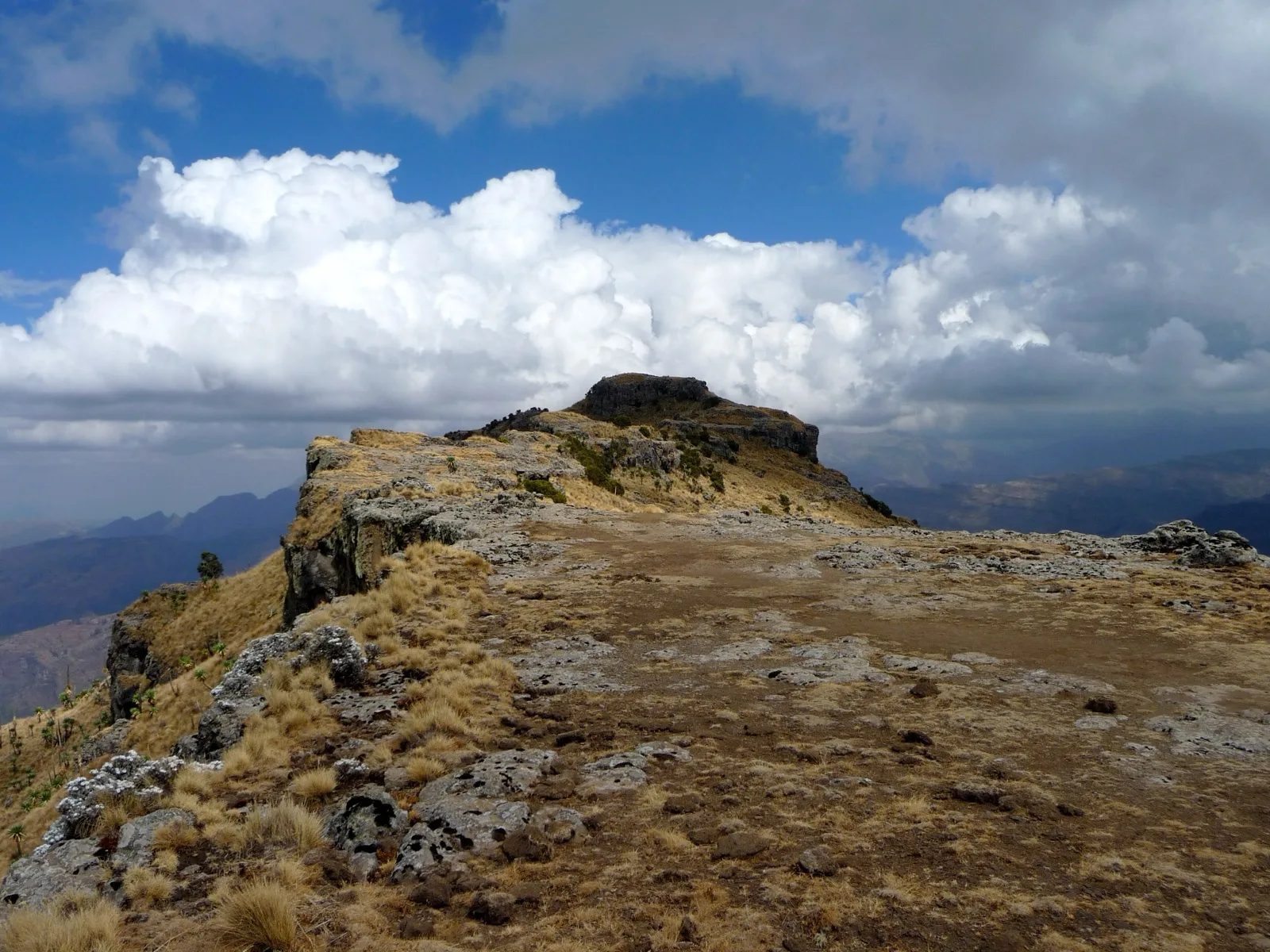
Route study
Trekking in the Simien Mountains: Route Study
Follow the named Simien trekking stages through Sankaber, Gich, Chenek, Ambiko and Ras Dashen, with the return from Menteber still to confirm.
Explore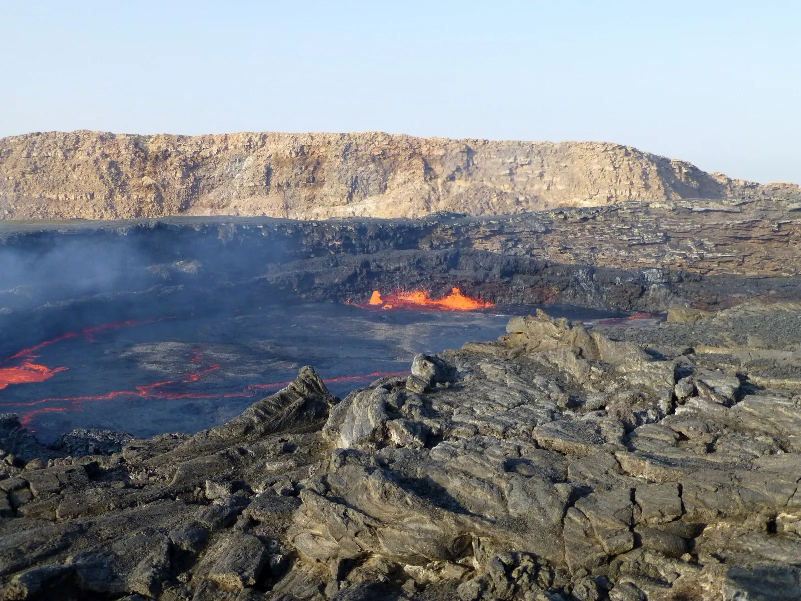
3 days · Itinerary
Three-Day Danakil Volcanic Traverse
Three days link Mekele with Erta Ale via Aksoma, then Hamed Ela, Dallol and Lake Afrera before the return to Mekele.
Explore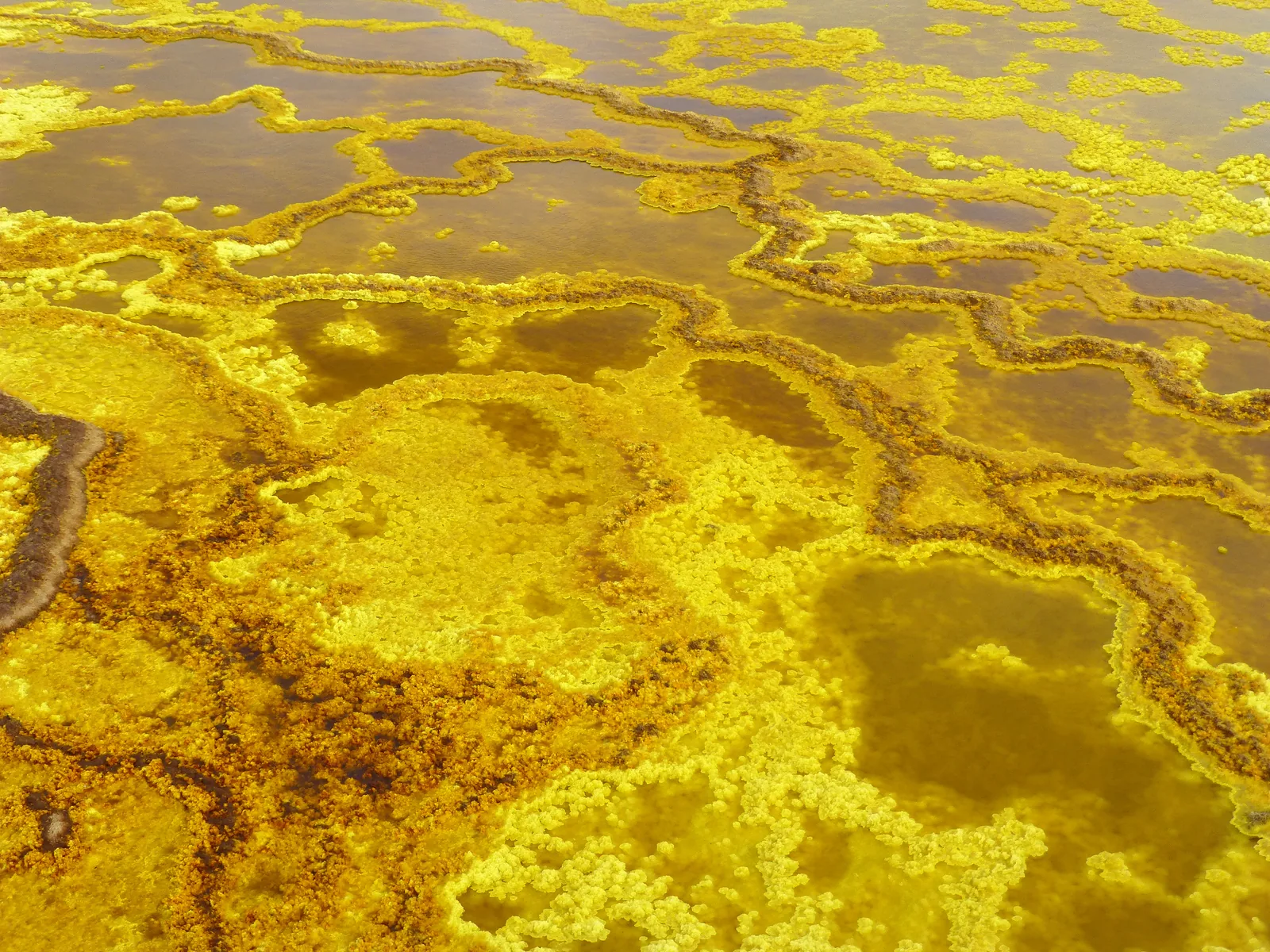
2 days · Itinerary
Two Days in the Danakil Depression
Explore a proposed two-day Danakil route from Mekele through Berhale and Hamed Ela to Dallol, Lake Asale and the salt workings of Ragad.
Explore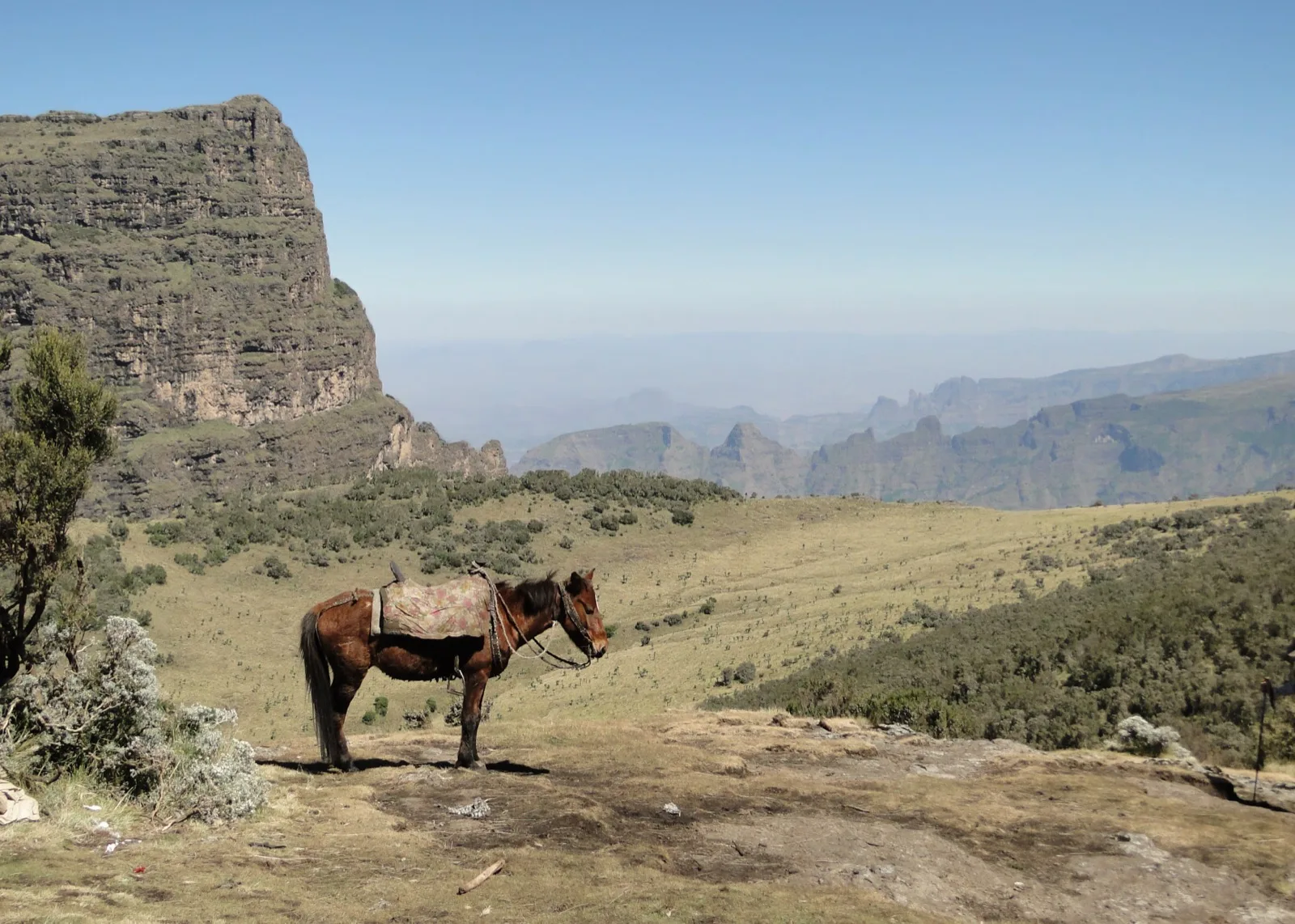
2 days · Itinerary
Two-Day Simien Escarpment Trek
A compact two-day walking route links Sankaber and Gich with Imet Gogo before returning to Gondar.
ExploreOfficial sources
Check these primary sources directly; their current information takes precedence.
Not yet reviewed: no named reviewer or review date has been recorded for this page. The official sources above take precedence.
Related places and journeys
Ethiopia guide
All Trips
Compare Ethiopia journeys by their route, time on foot and regional focus.
ExploreEthiopia guide
Places to Visit in Ethiopia
Choose Ethiopia destinations by the kind of time you want to spend in them.
ExploreEthiopia guide
Kuriftu Resorts: choose the location first
Distinguish Kuriftu's historically documented Bahir Dar, Bishoftu and Adama locations and consider how each setting would fit an Ethiopia itinerary.
ExploreEthiopia guide
Lalibela: churches, highlands and pilgrimage
Explore Lalibela's eleven rock-hewn churches, living worship and surrounding highlands, and build a visit with time for both architecture and context.
Explore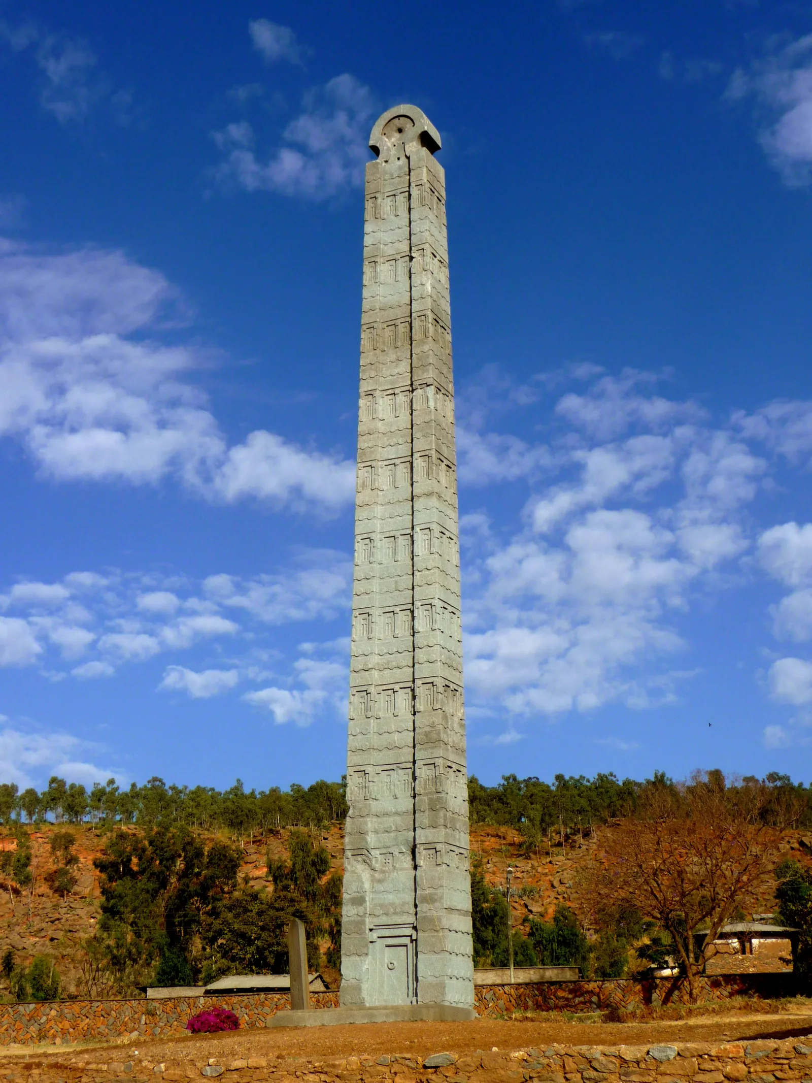
Ethiopia guide
Axum: archaeology and living heritage
Explore Axum's stelae, royal archaeology and religious traditions, and plan a visit that distinguishes historical evidence from stories of sacred heritage.
ExploreEthiopia guide
Gondar: castles, churches and highland connections
Explore Gondar's Royal Enclosure, painted church interiors and relationship with the Simien Mountains, with a plan that gives the city its own attention.
ExploreEthiopia guide
Simien Mountains: escarpments and walking choices
Explore the Simien Mountains through escarpment scenery, endemic wildlife and distinct walking routes, with guidance on choosing the right mountain plan.
ExploreEthiopia guide
Danakil Depression: geology and itinerary choices
Explore the Danakil's salt landscapes, Dallol and volcanic setting, and distinguish itinerary choices without assuming every tour includes the same stops.
ExploreEthiopia guide
About Us
Learn about Ethio Simien Eco Tours' approach to Ethiopia travel planning, nature, heritage and respectful local experiences.
ExploreEthiopia guide
Responsible travel: questions that matter
Assess a journey through consent, local payment, wildlife conduct, environmental practice and honest expectations, using concrete questions before you book.
ExploreShape your journey
Bring your preferred dates, interests and pace together in a planning draft.